

Executive Overview
For travelers seeking a quintessential expedition through the untamed topography of Western Canada, Highway 3—universally celebrated as the Crowsnest Highway—offers an unmatched 721-mile odyssey. Stretching from the forested slopes of Hope, British Columbia, just 100 miles east of Vancouver, to the rolling, sun-drenched plains of Medicine Hat, Alberta, this transnational artery traverses some of the most dramatic landscapes on the North American continent.
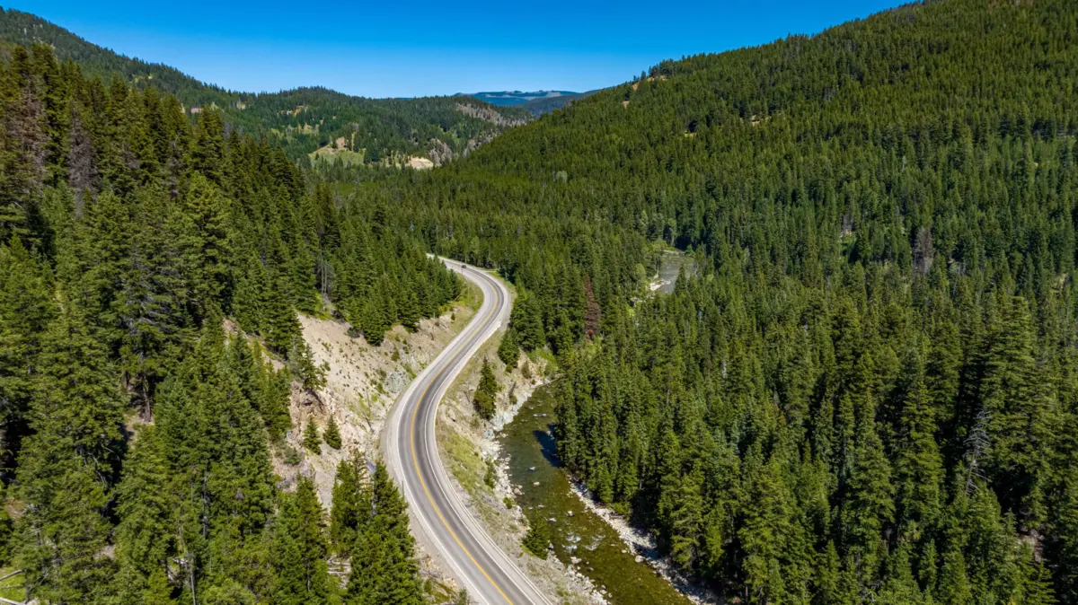
Far more than a simple asphalt ribbon connecting point A to point B, the Crowsnest Highway is a historic and geological corridor. It guides motorists across the soaring Crowsnest Pass at elevations approaching 4,500 feet, threading through the dense timber of the Cascade Mountains, the glaciated teeth of the Rockies, and the historic mining settlements that once fueled the industrial expansion of the Canadian West. Whether approached from the Pacific side via Vancouver International Airport (YVR) or from the continental interior through Calgary International Airport (YYC), the route presents a masterclass in diverse ecosystems, storied architecture, and modern-day outdoor recreation.
Detailed Chronology and Route Breakdown
To truly appreciate the scope of the Crowsnest Highway, travelers must view the route not merely as a multi-hour drive, but as a longitudinal cross-section of British Columbia and Alberta’s shared geography and history. The following chronological exploration outlines the journey from west to east, charting the transition from coastal temperate zones to high alpine passes and interior plateau vineyards.
[Hope, BC] ---> (E.C. Manning Provincial Park) ---> (Similkameen Valley & Princeton)
             ---> (Grand Forks & Greenwood) ---> (Kootenay Region & Fernie)
             ---> [Crowsnest Pass / Alberta Plains]
Phase 1: The Western Gateway and the Cascades
The journey officially begins in Hope, BC, a historic junction historically utilized by First Nations peoples and later by fur traders and gold prospectors. Within less than an hour of leaving Hope behind, motorists find themselves enveloped by the pristine wilderness of E.C. Manning Provincial Park.
Serving as an exquisite prelude to the dramatic mountain landscapes that lie deeper in the interior, Manning Provincial Park is a mosaic of shifting habitats. Dense lower-elevation cedar and hemlock forests give way to subalpine meadows and high alpine tundra zones where grizzly bears, black bears, and mountain goats roam largely undisturbed. For those willing to disembark from their vehicles, the 13-mile Frosty Mountain Trail presents a rigorous physical challenge. Scrambling to the upper ridges rewards hikers with sweeping panoramas of glittering alpine lakes and rare, vibrant golden larch forests that ignite the landscape during the autumn months.
Continuing eastward, the highway descends into the Similkameen Valley, bringing travelers to the community of Princeton. Flanked by lush agricultural lands and fruit orchards, Princeton serves as a primary access point for historical side-trips, including the preserved early-20th-century timber town of Coalmont. Here, time appears to have stalled, with original wooden boardwalks and rustic facades standing as silent witnesses to an era when coal mining dictated the rhythms of frontier life.
Phase 2: The Copper and Silver Echoes of the Southern Interior
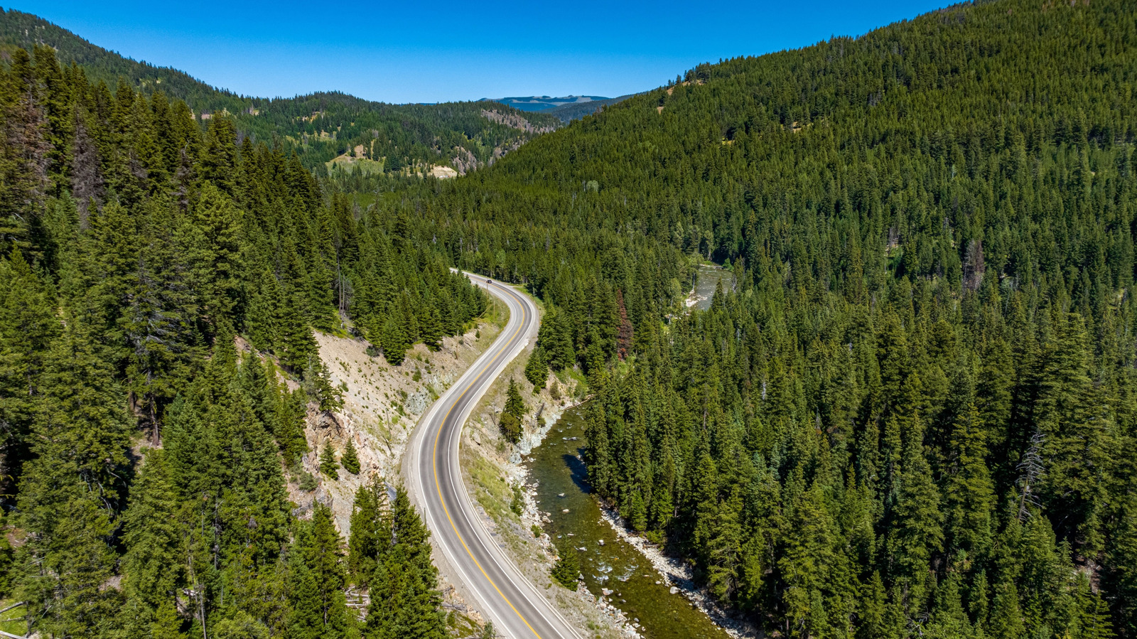
As the Crowsnest Highway pushes further into the Southern Interior, the terrain transitions from dense evergreen forests to arid benches and historic mining jurisdictions.
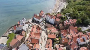
- Greenwood: A mandatory stop for cultural historians, Greenwood holds the distinction of being Canada’s smallest incorporated city. Established during a turn-of-the-century copper mining boom, its picturesque Main Street is lined with approximately 60 preserved Victorian-style buildings. These stately brick and stone facades serve as architectural monuments to a mercurial era of explosive economic growth followed by rapid bust cycles.
- Grand Forks: Another pivotal copper boom town dating back to the late 19th century, Grand Forks blends its industrial heritage with modern ecotourism. The town sits at the confluence of the Granby and Kettle Rivers, offering immediate access to aquatic recreation, cycling paths, and a rich multicultural history rooted in the Doukhobor heritage.
Phase 3: The High Rockies and the Kootenay Wilderness
Crossing deeper into the Kootenay region, the highway enters the sovereign domain of the Canadian Rockies and the Purcell Mountains, where glacial runoff feeds roaring rivers and jagged peaks dominate every horizon.
According to data compiled by the Highway 3 Consortium (HWY3bc)—an alliance of municipalities promoting regional tourism—the Nelson and Kootenay sections alone boast upwards of 13 primary outdoor recreation hubs. Among these, Kokanee Creek Provincial Park offers lakeside campgrounds situated directly beneath the formidable Selkirk Mountains, providing front-row seating to the region’s dramatic annual salmon runs.
Further along, the Monica Meadows Trail invites backcountry enthusiasts to explore shimmering tarns, vibrant alpine wildflowers, and permanent ice fields high within the Purcell Mountains via a demanding 6-mile return trek.
The crown jewel of this alpine section is Fernie, a rugged mountain town first plotted out in the 1890s. Fernie successfully bridges its heavy industrial past with a contemporary reputation as a world-class adventure sports mecca. During the winter months, the Fernie Alpine Resort deploys 145 distinct ski trails across 3,500 vertical feet of powdery descents. In the summer, the snow melts away to reveal an extensive network of mountain biking trails and challenging peak-bagging ascents up Mount Hosmer and Castle Mountain.
Supporting Context and Geographic Metrics
Understanding the engineering and geographic scope of the Crowsnest Highway requires looking closely at the numbers that define this trans-provincial thoroughfare:
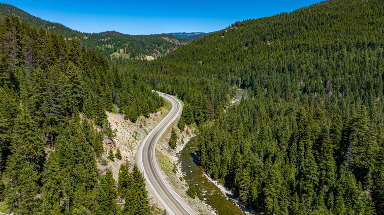
- Total Distance: Approximately 721 miles (1,160 kilometers).
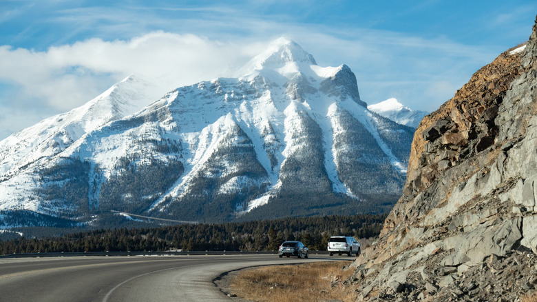
- Elevation Peak: Reaching nearly 4,500 feet (1,372 meters) above sea level at the summit of the Crowsnest Pass along the British Columbia-Alberta border.
- Provinces Crossed: British Columbia and Alberta.
- Primary Mountain Ranges Traversed: Cascade Mountains, Monashee Mountains, Purcell Mountains, Selkirk Mountains, and the Rocky Mountains.
- Microclimates: The journey shifts dramatically from the high-precipitation coastal rainforests of the Fraser Valley to the rain-shadowed desert-like benches of the Similkameen Valley, culminating in the semi-arid continental plains of southwestern Alberta.
The Similkameen Wine and Cider Corridor
Beyond its geological marvels, the Crowsnest Highway corridor has quietly evolved into one of Western Canada’s premier agricultural and viticultural frontiers. The Similkameen Valley, centered largely around the rural lands flanking the highway between Princeton and Keremeos, is increasingly recognized as the "organic fruit capital of Canada."
In recent years, an influx of boutique winemakers and craft cider producers have established tasting rooms along the highway route. Benefiting from distinct terroir—characterized by high daytime temperatures, cool mountain-night air drainage, and mineral-rich glacial soils—the valley’s vineyards produce distinct varietals that rival those of the more heavily commercialized Okanagan Valley to the north.
Official Perspectives and Infrastructure Insights
The maintenance, promotion, and sustainable development of the Crowsnest Highway involve a complex coordination of provincial transportation ministries and local community tourism boards.
The Highway 3 Consortium, operating via the official digital portal HWY3bc.ca, has long championed the route as a vital economic and cultural spine for rural British Columbia. In recent policy and tourism briefings, consortium representatives have emphasized the route’s role in dispersing tourism traffic away from heavily congested coastal corridors and into resilient, community-led interior destinations.
"Highway 3 is not merely an alternate route to the Canadian Rockies; it is the living history book of southern British Columbia," notes regional tourism documentation from the Highway 3 development initiatives. "From the coal seams of Fernie to the orchards of the Similkameen, the corridor preserves the industrial and natural narratives that forged the modern Canadian interior."
From an infrastructure perspective, the British Columbia Ministry of Transportation and Infrastructure regularly invests in avalanche control, rockfall mitigation, and bridge reinforcement along the Crowsnest Pass and interior mountain gaps. Given the route’s high-altitude sections and susceptibility to severe winter weather, continuous monitoring systems and seasonal maintenance protocols are deployed to ensure year-round commercial and recreational viability, though summer and early autumn remain the peak periods for leisure travel.
Future Outlook: Sustainable Tourism and Regional Growth
As global travel trends shift toward slow tourism, road-trip itineraries, and off-the-beaten-path outdoor exploration, the Crowsnest Highway is poised for a significant resurgence in international and domestic interest.
Municipalities along the Highway 3 corridor are increasingly investing in green infrastructure, including the expansion of electric vehicle (EV) charging stations in remote towns like Princeton, Greenwood, and Fernie. Furthermore, regional planners are coordinating with First Nations communities to integrate Indigenous cultural interpretation centers and heritage trails directly into the broader tourism framework of the highway.
At the eastern terminus of the route, travelers emerge into the underrated urban and agricultural landscapes of Medicine Hat, Alberta—famed for its sunny climate, walkable downtown core, and monumental roadside landmarks like the world’s tallest teepee. This seamless transition from the glacial peaks of the Rockies to the sweeping expanses of the Canadian Prairies encapsulates the enduring appeal of the Crowsnest Highway: a dynamic, ever-changing traverse through the heartland of Western Canada’s natural and human history.