








Executive Overview
Tucked away at the tri-state convergence of Massachusetts, Rhode Island, and Connecticut lies a sprawling, nearly 6,000-acre expanse that feels remarkably disconnected from the bustling metropolitan corridors of New England. Douglas State Forest, hiding in plain sight just a 70-minute drive from Boston and 75 minutes from Hartford, offers a profound psychological and physical escape from the familiar touchstones of the region—far removed from the crowded shores of Cape Cod, the tourist-laden peaks of the Berkshires, and the academic gravity of Harvard Yard.
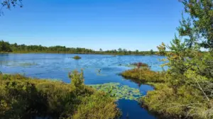
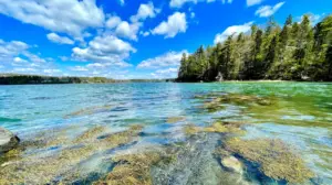
Encompassing roughly one-third of the total land area of the town of Douglas, Massachusetts, this dense, lightly developed woodland represents a rare ecological sanctuary. It features a rugged landscape where visitors can hike for hours without encountering more than a handful of fellow travelers, even during peak seasonal windows. Yet, despite its remote ambiance, the forest serves as a vital recreational and geographic nexus. Anchored by the 322-acre expanse of Wallum Lake—which straddles the Rhode Island border—and serving as the intersection for major regional footpaths like the Midstate Trail and Rhode Island’s North South Trail, Douglas State Forest is a complex ecosystem. It balances quiet wilderness preservation with high-demand outdoor recreation, presenting unique logistical challenges and immense natural value for the tri-state area.
Detailed Chronology and Historical Context
To understand the current landscape of Douglas State Forest, one must look beyond its modern trail markers and examine the historical layers that shaped this southern Worcester County terrain.
Pre-Colonial and Agrarian Eras
Long before it became a designated state forest, the land surrounding Wallum Lake and the upper reaches of the Mumford River watershed was stewarded by indigenous Nipmuc communities. These native populations utilized the dense hardwood forests for hunting, foraging, and seasonal migration along natural waterways.
With the arrival of European settlers in the 18th century, the landscape underwent a radical transformation. The town of Douglas, incorporated in 1746, was initially carved out of a tract known as "New Boston." Early European inhabitants engaged in subsistence farming, timber harvesting, and charcoal production to fuel local ironworks. Stone walls—now moss-covered and partially swallowed by the encroaching canopy—still crisscross the interior of Douglas State Forest, serving as silent monuments to an era when these dense woods were cleared pastures, orchards, and sheep walks.
The Industrial Pivot and Watershed Protection
As New England industrialization accelerated through the 19th and early 20th centuries, the steep topography and poor agricultural soils of Douglas made intensive farming largely unsustainable. Many marginal agricultural lands were abandoned, allowing secondary-growth forests of white pine, oak, and maple to reclaim the hillsides.
Simultaneously, the recognition of Wallum Lake as a vital regional water resource prompted early conservation efforts. State and local authorities began acquiring cut-over and tax-delinquent parcels around the middle of the 20th century to protect water quality, prevent soil erosion, and establish public recreation areas.

Formal Establishment and Modern Stewardship
Douglas State Forest was officially formalized and expanded through decades of strategic land acquisitions by the Massachusetts Department of Conservation and Recreation (DCR) and its predecessor agencies. By integrating fragmented woodlots into a cohesive, nearly 6,000-acre reservation, the state protected a critical ecological corridor bridging Southern New England.
Over the past few decades, infrastructure investments—such as the construction of raised boardwalks across sensitive wetland zones, the management of multi-use equestrian and hiking trails, and the formalization of the Wallum Lake beach and boat launch areas—have transformed the forest into a premier destination. Today, it operates under a delicate mandate: accommodating thousands of summer beachgoers and year-round trail enthusiasts while aggressively protecting the fragile interior habitats that give the forest its true wilderness character.
Supporting Context and Metrics
To fully grasp the scope of Douglas State Forest, one must examine the quantitative and qualitative metrics that define its infrastructure, ecology, and visitor dynamics.
Geographic and Accessibility Metrics
- Total Acreage: Approximately 6,000 acres, making it one of the larger contiguous state-managed forest blocks in central/eastern Massachusetts.
- Geographic Footprint: Covers approximately 33% (one-third) of the total land mass of the town of Douglas, MA.
- Proximity to Urban Centers:
- Boston, MA: ~70 minutes by car (traffic dependent), via I-90 W and state routes.
- Hartford, CT: ~75 minutes by car, primarily via I-84 E and local connectors.
- Border Context: Shares an extensive southern boundary with the State of Rhode Island, anchored by Wallum Lake.
Hydrological and Recreational Metrics
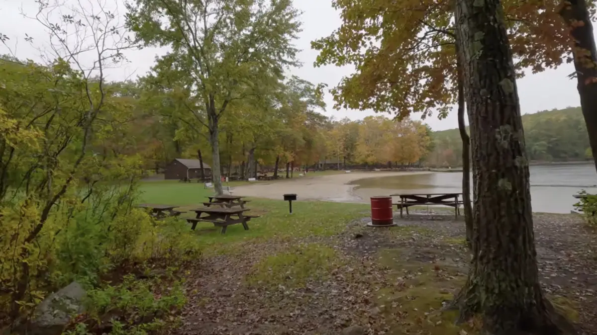
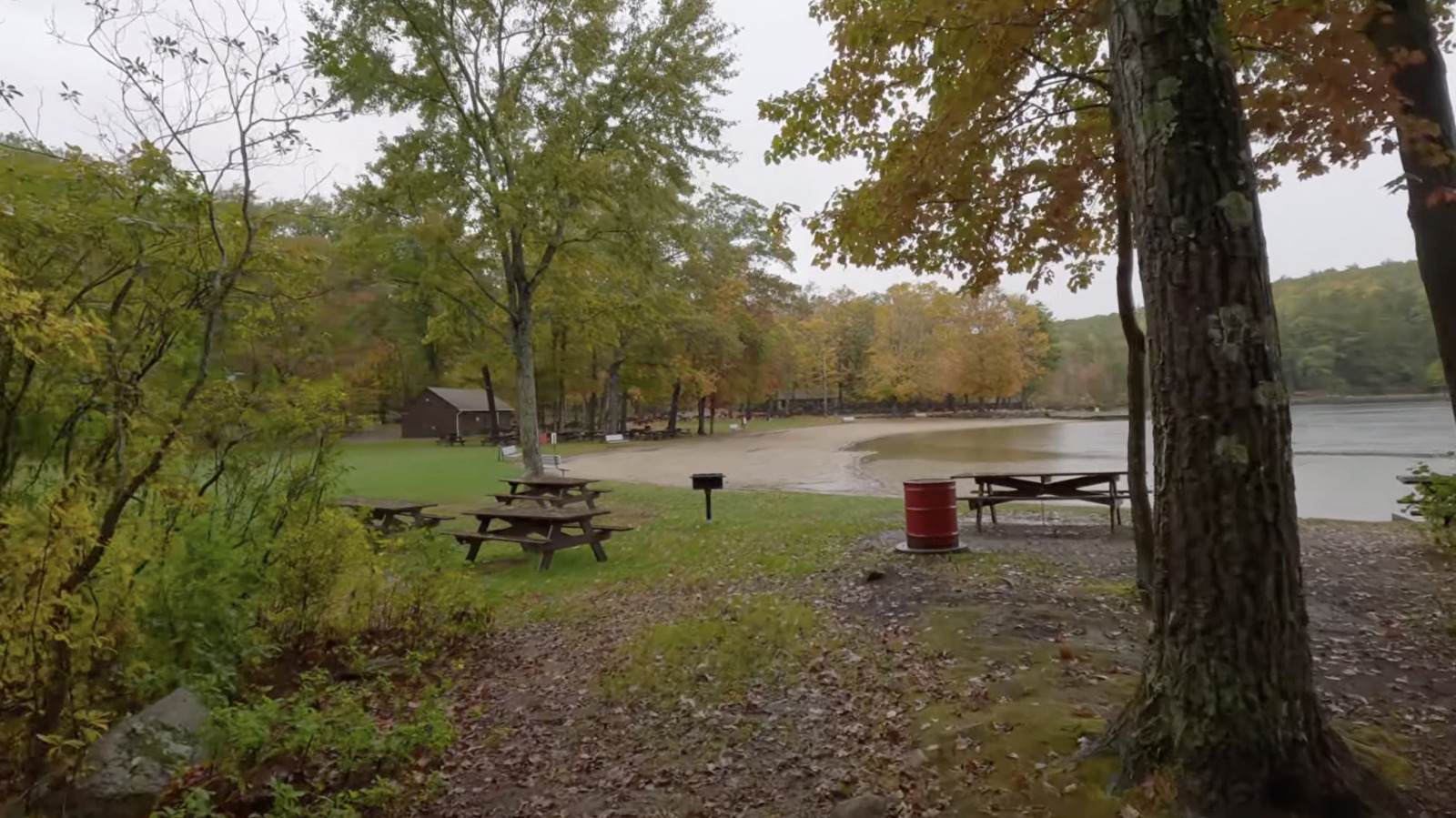
- Wallum Lake: A 322-acre glacial lake spanning the Massachusetts-Rhode Island border. It features a designated public swimming beach complete with seasonal lifeguard supervision, picnic areas, and a northern boat launch.
- Fisheries Diversity: Supports 11 catalogued fish species, including established populations of largemouth bass, smallmouth bass, yellow perch, and stocked broodstock salmon managed via Massachusetts fishing regulations.
- Trail Systems:
- Coffee House Loop: A 2.4-mile accessible circuit featuring engineered raised boardwalks designed to traverse seasonally flooded wetlands.
- Regional Trails: Serves as a direct junction point for the Midstate Trail (which traverses Massachusetts from the New Hampshire border to Rhode Island) and the North South Trail (Rhode Island’s premier border-to-border thru-hike).
- Biodiversity Catalog: Over 100 documented bird species—including pileated woodpeckers, red-tailed hawks, wood ducks, and mallards—alongside robust mammalian populations featuring white-tailed deer, red and gray foxes, coyotes, raccoons, and wild turkeys.
Economic and Regulatory Metrics
- Parking and Use Fees (Seasonal): Main parking area fees apply from late May through mid-October.
- Massachusetts Residents: $9.00 per vehicle.
- Non-Residents: $30.00 per vehicle.
- Operating Hours: Strict operational window from dawn to 8:00 PM daily. No overnight camping is permitted on the property, with zero campsites available. Unauthorized camping violates Massachusetts state park regulations and carries substantial financial penalties.
Official Statements and Management Perspectives
State land managers, regional conservationists, and local municipal leaders continually emphasize the challenges of maintaining a pristine wilderness experience amidst rising regional visitation pressures.
Dr. Elena Vance, a regional ecologist specializing in Southern New England forest corridors, notes the critical ecological function Douglas State Forest plays:
"Douglas State Forest is not merely a recreational amenity; it is a critical ecological anchor point. As suburban development creeps outward from the Boston-Worcester-Providence triangle, contiguous forest blocks like Douglas act as genetic highways for migratory wildlife. The intersection of state boundaries here makes cooperative, cross-border conservation essential for protecting water quality in Wallum Lake and preserving unbroken canopy habitats."
Representing the Massachusetts Department of Conservation and Recreation (DCR), park operations supervisor Marcus Holloway addresses the ongoing logistical balancing act between public access and habitat protection:
"Our primary directive at Douglas State Forest is twofold: providing safe, equitable access to exceptional natural resources—like our beach at Wallum Lake and our multi-use trail network—while safeguarding the fragile interior wetlands and wildlife corridors. Because we lack overnight camping facilities and enforce a strict 8 p.m. closing time, we rely heavily on visitor compliance to prevent ecological degradation, manage waste, and protect the quiet solitude that draws people here in the first place."
Local municipal officials in Douglas have similarly praised the forest’s economic and aesthetic contributions while highlighting the need for mindful tourism. Town planner Sarah Jenkins remarked:
"The forest defines the character of our town. While downtown Douglas retains its historic, rural charm with white-steepled churches and quiet intersections, the influx of weekend visitors heading toward Wallum Lake Road brings vital foot traffic to our local economy. At the same time, we work closely with state agencies to ensure that traffic management, parking overflows, and trail maintenance do not overwhelm our small-town infrastructure."
Future Outlook: Preservation, Recreation, and Regional Connectivity
Looking ahead, Douglas State Forest faces a series of complex management and environmental hurdles as it navigates the 21st century.
Climate Adaptation and Forest Health
Like many forested regions in the Northeastern United States, Douglas State Forest is increasingly vulnerable to the impacts of climate change. Changing precipitation patterns have led to more frequent extreme weather events, causing seasonal flash flooding along the forest’s extensive wetland networks and stressing native tree species. Furthermore, foresters are monitoring the proliferation of invasive forest pests—such as the emerald ash borer and spongy moth—which threaten the structural integrity of the hardwood canopy. Future management strategies will likely require increased investments in climate-resilient forestry, invasive species eradication, and the reinforcement of drainage structures along vulnerable trails like the Coffee House Loop.
Balancing Recreation Demands
As urban populations in Boston, Worcester, and Providence continue to seek accessible outdoor escapes, visitation numbers at Douglas State Forest—particularly around Wallum Lake beach and the main parking portals—are expected to climb. State planners are evaluating modern traffic-flow solutions, digital parking reservation pilots, and expanded educational signage to mitigate overcrowding during peak summer weekends. Simultaneously, trail managers are working to maintain the delicate multi-use designation of the trail network, ensuring harmonious coexistence between hikers, trail runners, equestrians, and cross-country skiers.
Expanding Regional Thru-Hike Integration
With its unique positioning as the meeting point for the Midstate Trail and Rhode Island’s North South Trail, Douglas State Forest is uniquely situated to capitalize on the growing popularity of long-distance regional thru-hiking. Future inter-state planning initiatives aim to formalize backcountry support infrastructure on the periphery of the forest—such as coordinating with nearby private facilities like the Sutton Falls Camping Area—to provide legal, sustainable lodging options for long-distance hikers traversing the borderlands of Massachusetts and Rhode Island.
Ultimately, Douglas State Forest will remain an invaluable anomaly in the geography of Southern New England. By rigorously protecting its deep woods, pristine waters, and rich wildlife habitats while welcoming those seeking solitude beneath its dense canopy, this tri-state sanctuary ensures that true wilderness remains within arm’s reach of the modern metropolis.