




Executive Overview
Framed by the rugged grandeur of the Northern Rockies and towering alpine summits, Montana is widely celebrated as "Big Sky Country," yet its vast aquatic footprint is equally breathtaking. Though officially landlocked, the Treasure State boasts more than 3,223 officially named lakes and reservoirs, alongside countless uncharted subalpine water bodies carved by retreating glaciers over millennia. Under the Montana State Constitution, all surface waters belong to the State for the beneficial use of its citizens, guaranteeing perpetual public access and weaving water stewardship into the cultural fabric of local communities.
For the human-powered watercraft enthusiast—whether navigating technical whitewater rapids or seeking serene flatwater exploration via canoe, kayak, or stand-up paddleboard (SUP)—Montana offers an unmatched playground. Drawing upon decades of navigational experience, local maritime expertise, and ecological assessments, this guide provides an exhaustive review of six premier Montana lakes. Each destination presents unique geological formations, recreational mandates, ecological considerations, and logistical realities essential for modern outdoor adventurers.
Detailed Chronology and Geological Evolution of Montana’s Watersheds
The geological history of Montana’s lakes is deeply tied to the epochal carving of Pleistocene ice sheets, tectonic displacements, and modern hydrological engineering. Understanding the formation of these aquatic landscapes adds a layer of appreciation for visitors traversing these waters today.
[Pleistocene Epoch] ──> Glacial Retreat & Valley Carving (Flathead, McDonald, Whitefish)
[1959 Seismic Event] ──> Hebgen Lake Alteration & Quake Lake Formation (Madison River)
[Mid-20th Century] ──> Anthropogenic Engineering & Reservoir Construction (Hyalite)
1. Flathead Lake: The Glacial Behemoth
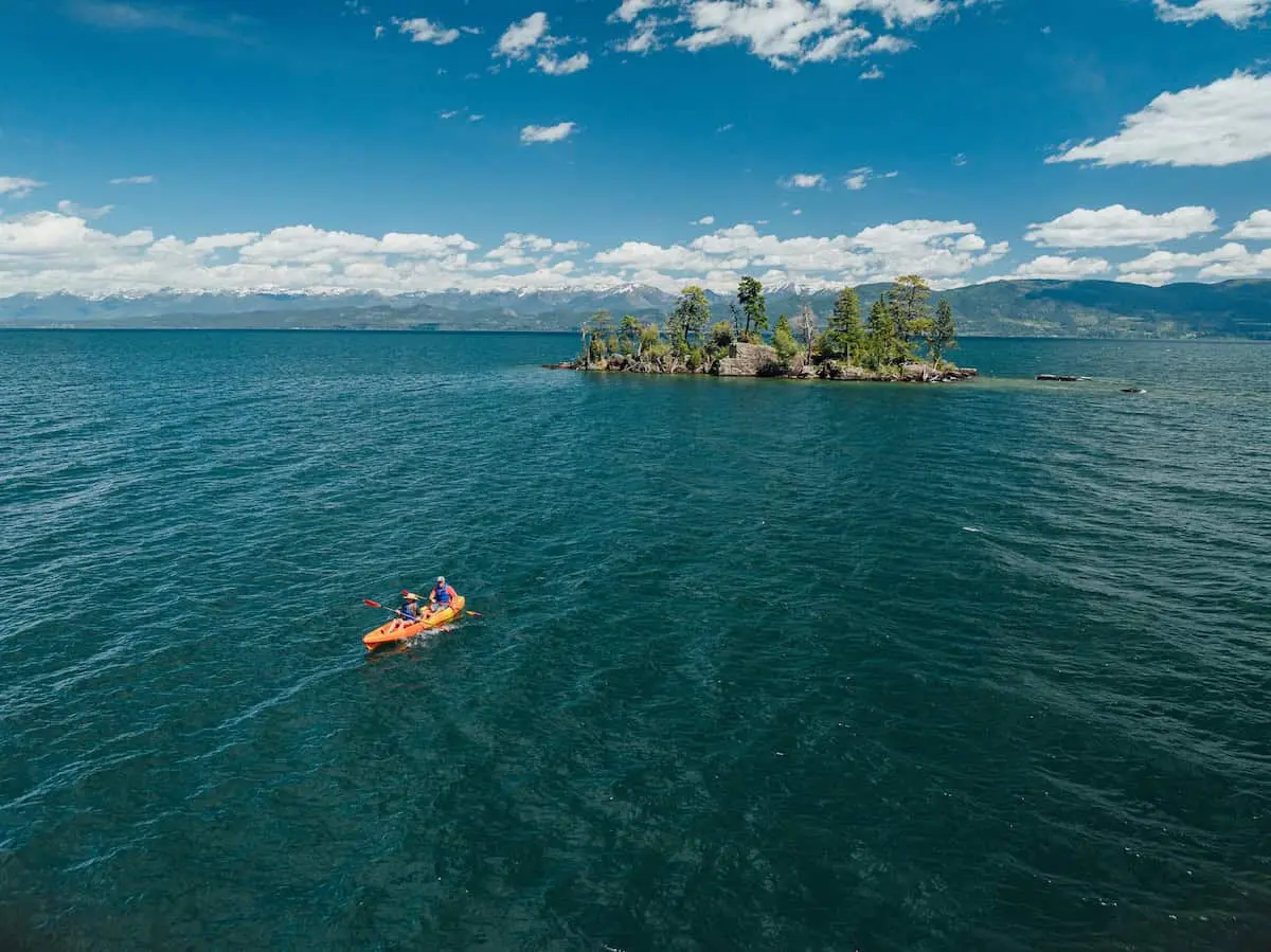
Occupying the northwestern valleys of the state, Flathead Lake is the largest natural freshwater lake west of the Mississippi River within the Lower 48 states. Carved out by the massive Flathead Lobe of the Cordilleran Ice Sheet during the last ice age, the basin is bound by ancient fault blocks. Over millennia, glacial scouring deepened the trench, which eventually filled with the runoff of the Mission and Salish mountain ranges. The result is a diverse aquatic ecosystem spanning over 2,000 square miles of surface water and 185 miles of irregular, cove-riddled shoreline.
2. Lake McDonald: The Mirror of Glacier National Park
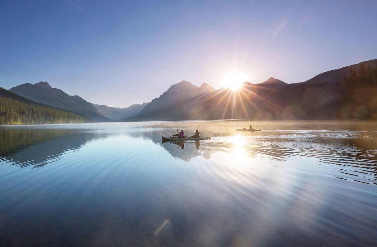
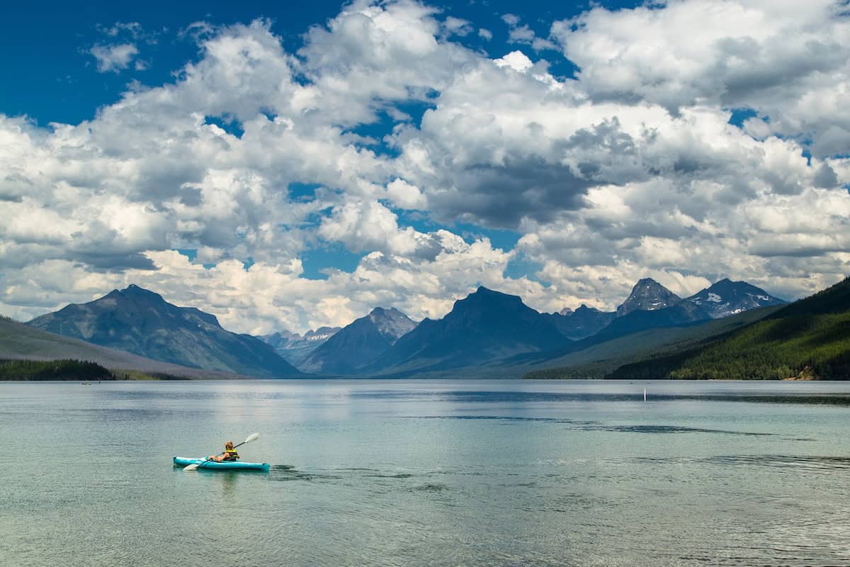
As the largest lake within Glacier National Park, Lake McDonald spans roughly 10 miles of shoreline and plunges to depths exceeding 470 feet. The basin was chiseled by the same relentless alpine glaciers that shaped the towering wall of the Continental Divide. Its defining feature—the multi-colored rainbow argillite pebbles resting beneath up to 80 feet of crystalline water—originated from ancient sedimentary layers exposed and polished by glacial action over thousands of years.
3. Whitefish Lake: The Alpine Retreat
Positioned at the base of Whitefish Mountain Resort, Whitefish Lake shares its glacial ancestry with Flathead Lake yet presents a more compact, sheltered profile. Flanked by steep, heavily forested mountain slopes, the lake serves as a natural catchment basin that drains southward into the meandering Whitefish River.
4. Earthquake (Quake) Lake: The Living Monument to Seismicity
Unlike its glacially carved counterparts, Quake Lake is a relatively recent geographical phenomenon born of catastrophic violence. On August 17, 1959, a catastrophic 7.3-magnitude earthquake struck southwestern Montana, triggering an 80-million-ton mountainside landslide that hurtled down the Madison River canyon at over 100 miles per hour. This earthen avalanche instantly formed a natural dam, backing up the Madison River within weeks to submerge a living timber forest. Today, this "ghost forest" stands as a haunting yet ecologically vibrant aquatic preserve.

5. Hyalite Reservoir: The Engineered Mountain Basin
Located 10 miles up the scenic Hyalite Canyon near Bozeman, Hyalite Reservoir represents the intersection of natural topography and mid-20th-century municipal water management. Originally constructed in the 1940s and significantly expanded in 1993, this 206-acre impoundment captures pristine snowmelt from the Gallatin Mountain Range, serving both local ecological networks and human recreation.
6. Hebgen Lake: The Madison River Hydroelectric Hub
Situated northwest of West Yellowstone, Hebgen Lake is a sprawling, engineered water body created by the construction of the Hebgen Dam on the Madison River in 1915. Spanning roughly 16 miles in length and 4 miles in width, the reservoir interacts dynamically with regional tectonic faults—a reality dramatically demonstrated during the 1959 Hebgen Lake earthquake, which altered the lakebed topography and caused massive seiche waves to slosh over the dam crest.
Supporting Context & Metrics
To assist paddlers, anglers, and outdoor recreationists in planning safe and sustainable excursions, the following comparative matrix details key logistical and environmental metrics for each destination:
| Lake Name | Surface Area / Dimensions | Primary Activity Focus | Key Regulatory & Access Requirements | Recommended Launch Timing |
|---|---|---|---|---|
| Flathead Lake | 2,000+ sq mi; 185 mi shoreline | All-day expeditions, wildlife viewing (WildHorse Island) | Somers Beach & Flathead Lake State Parks access; CSKT tribal recreation permit required for southern half. | Early morning (calm conditions) |
| Lake McDonald | 10 mi shoreline; Depth >470 ft | Scenic park paddling, photography | Glacier National Park pass; mandatory aquatic invasive species (AIS) inspection. | Early morning or autumn shoulder season |
| Whitefish Lake | Compact alpine basin; 2.5 mi river exit | Beginner-friendly SUP & flatwater kayaking | Mandatory watercraft inspection; Early Angler Permit required for pre-dawn summer launching. | Early morning (pre-boat traffic) |
| Quake Lake (Earthquake Lake) | 6 mi long; Depth up to 125 ft | Historical exploration, ghost forest navigation | $10 non-motorized watercraft permit for state waters; extreme caution around submerged timber. | Early morning (low wind) |
| Hyalite Reservoir | 206 acres | No-wake flatwater paddling, combining with alpine hiking | Day-use area permits; strict catch-and-release rules for specific trout species. | Mid-day to late afternoon (scenic lighting) |
| Hebgen Lake | 16 mi long; 4 mi wide | Fly-fishing, kayak-angling, multi-day camping | Recreation.gov permits for lakeside campgrounds; mandatory AIS inspection for non-residents. | July through September (or late May chironomid hatch) |
Official Guidelines and Environmental Stewardship
The preservation of Montana’s pristine aquatic environments requires strict adherence to state and federal resource management policies. Because aquatic invasive species (AIS)—such as zebra and quagga mussels, Eurasian watermilfoil, and whirling disease—pose a catastrophic threat to native fisheries and ecosystem integrity, the State of Montana enforces rigorous oversight.
Mandatory Watercraft Inspection Protocols
Under Montana law, all non-resident watercraft (including kayaks, canoes, and stand-up paddleboards) must be inspected for aquatic invasive species prior to launching into any state waterway. Designated inspection stations are strategically positioned along major interstate entryways, highway checkpoints, and national park boundaries.
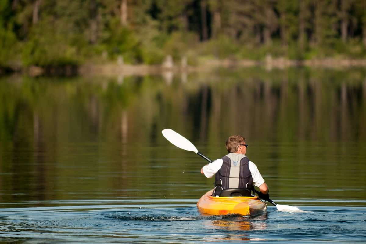
- The Clean, Drain, Dry Standard: Recreators must thoroughly inspect their vessels, remove all plant matter, mud, and animal material, drain all bilge and ballast water, and allow hulls to dry completely before transporting watercraft between distinct watersheds.
- Park-Specific Mandates: Glacier National Park operates independent inspection protocols for Lake McDonald and surrounding alpine waters, requiring free inspection tags to be visibly affixed to all human-powered vessels before entry.
Tribal Sovereignty and Jurisdictional Oversight
Paddlers exploring the southern half of Flathead Lake must recognize that these waters lie within the boundaries of the Flathead Indian Reservation, managed by the Confederated Salish and Kootenai Tribes (CSKT). Navigators entering reservation waters are legally obligated to secure appropriate tribal recreation permits, respecting sovereign resource management and cultural heritage sites such as Wild Horse Island State Park.
Future Outlook: Conservation, Climate, and Recreation Management
As Montana continues to experience a surge in eco-tourism and domestic migration, the management of its iconic waterways faces mounting pressures. Balancing open public access with ecological resilience will define the future of paddle sports in the Treasure State.
1. Climate Change and Hydrological Pressures
The accelerated recession of glaciers in Glacier National Park and surrounding ranges directly impacts late-summer streamflows and lake water temperatures. Reduced snowpack alters seasonal runoff patterns, potentially shortening the optimal window for shallow-water navigation and intensifying thermal stress on native cold-water fish species, such as bull trout and westslope cutthroat trout. State agencies and conservation non-profits are actively monitoring watershed health to mitigate habitat degradation.
2. Infrastructure and Overcrowding Mitigation
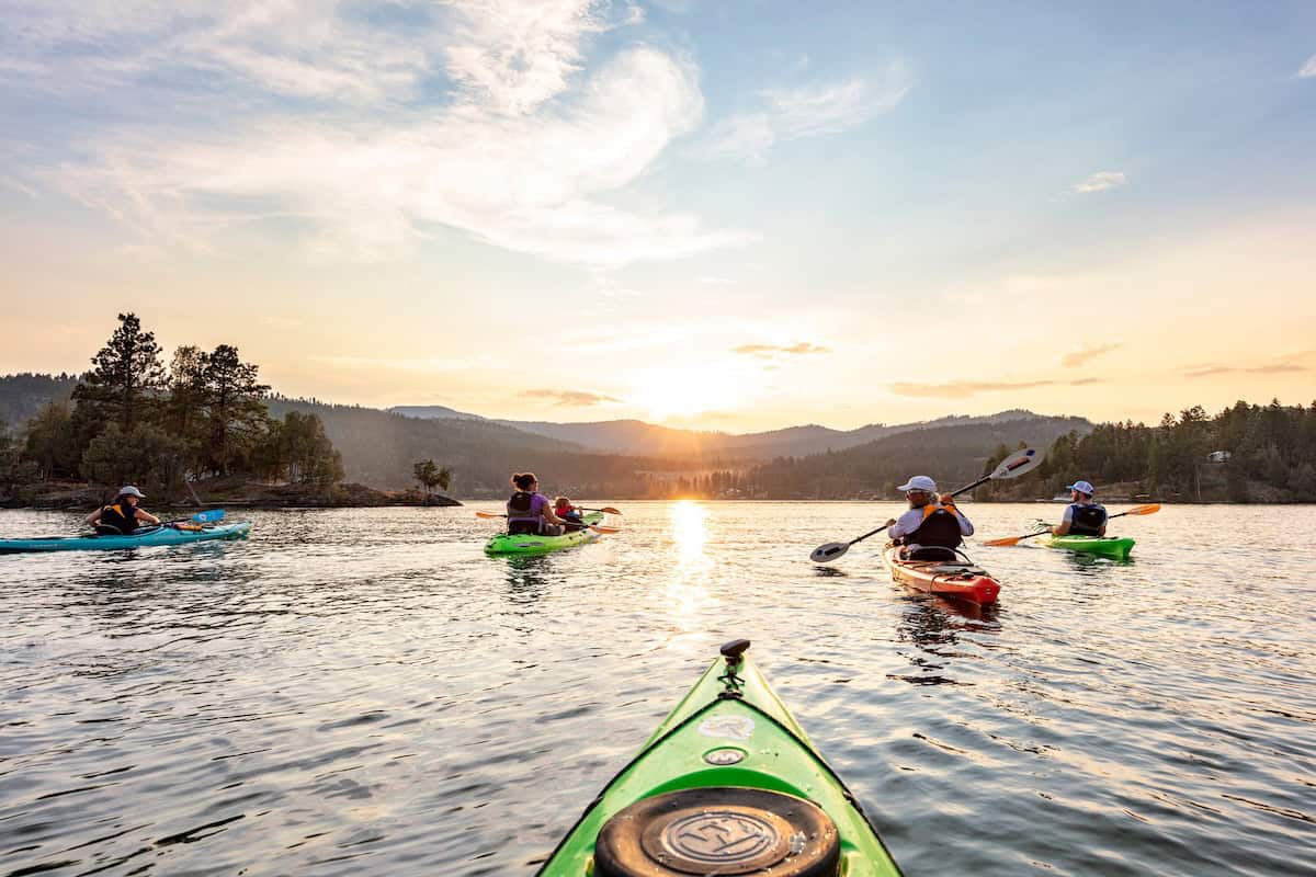
High-use hubs like Lake McDonald and Whitefish Lake experience acute congestion during peak summer months. In response, land management agencies are increasingly utilizing timed-entry reservation systems, expanding parking infrastructure at peripheral trailheads, and promoting lesser-known reservoirs—such as Hyalite and Hebgen—to disperse recreational traffic. Educational campaigns focusing Leave No Trace principles on the water are also expanding to curb shoreline erosion and wildlife disturbance.
3. Evolving Safety and Technological Integration
With the proliferation of inflatable SUPs and lightweight packrafts, backcountry water accessibility has democratized dramatically. However, this has also led to an uptick in unprepared paddlers encountering sudden mountain squalls, hypothermic water temperatures, and submerged hazards (such as Quake Lake’s ghost forest). Future safety initiatives will likely emphasize mandatory PFD (Personal Flotation Device) compliance, real-time meteorological monitoring apps tailored to high-altitude wind patterns, and community-led water safety workshops.
Through rigorous adherence to conservation ethics, respect for indigenous sovereignty, and diligent preparation, paddlers will continue to find unmatched solace and adventure across Montana’s timeless aquatic landscapes for generations to come.