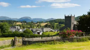
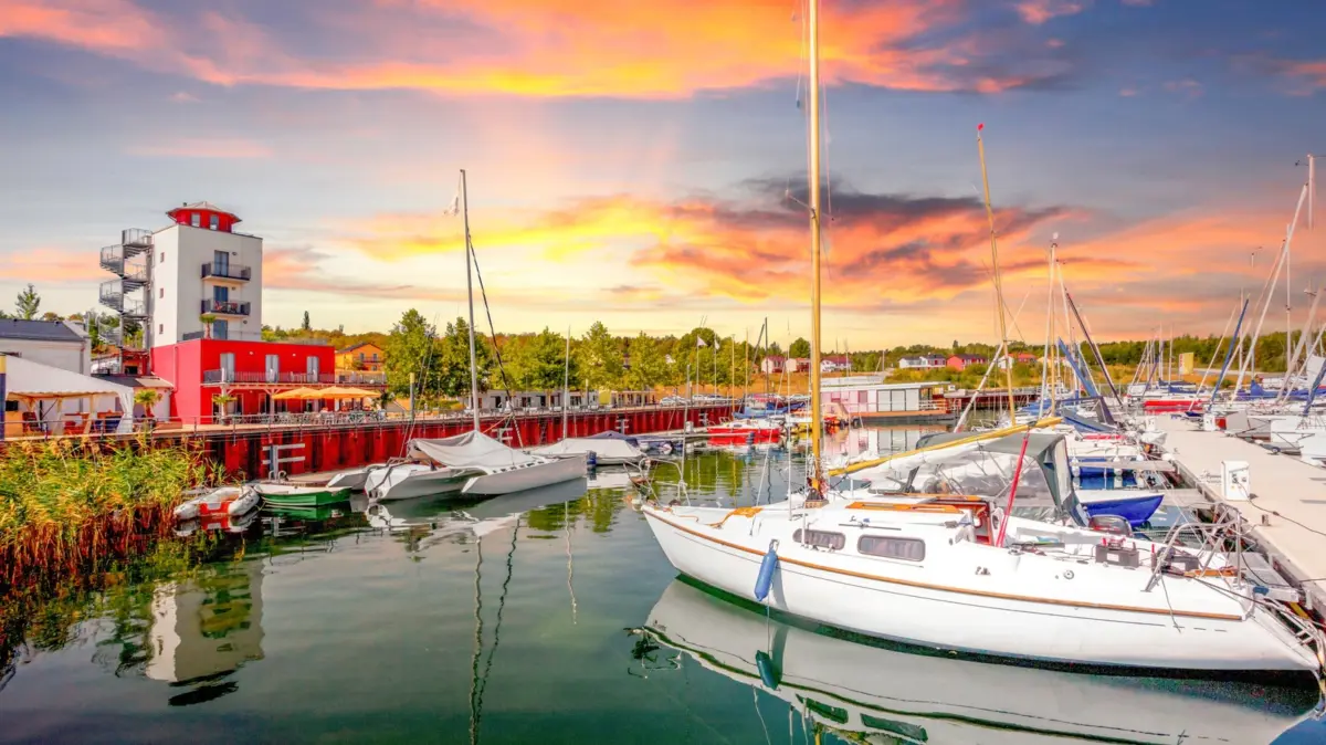
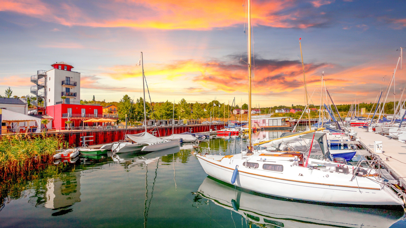
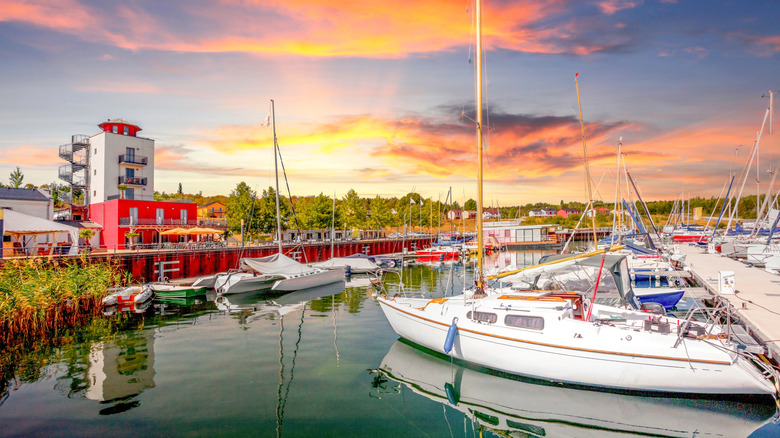
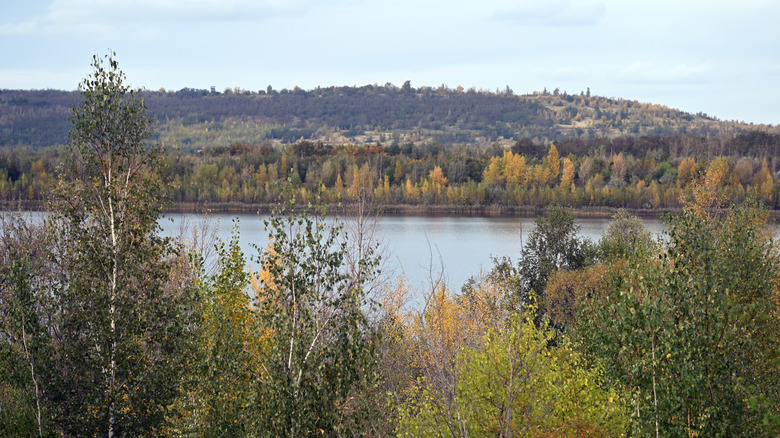
Nestled within the picturesque rolling hills of central Germany lies Lake Geiseltal (Geiseltalsee), a sprawling aquatic expanse that defies its own origin. Spanning approximately 7 square miles, the lake boasts crystal-clear waters, placid shores lined with lush forests, and bustling marinas filled with sailboats and luxury pontoons. On warm summer afternoons, the beaches teem with sunbathers, while anglers cast lines into waters teeming with northern pike, European perch, and Prussian carp.
To the casual observer, Lake Geiseltal appears to be a timeless, pristine natural wonder. Yet, beneath its placid surface lies a monumental secret: for nearly three centuries, this exact basin was the site of one of Europe’s most intensive open-cast lignite (brown coal) mining operations.
The story of Lake Geiseltal is not merely one of industrial extraction, but one of the most ambitious and successful environmental remediation projects in modern European history. Following the cessation of mining activities in 1993, the Geisel Valley underwent a staggering metamorphosis. Through a carefully engineered, decades-long process of ecological restoration and controlled flooding, a massive industrial void was transformed into Germany’s largest artificial lake. Today, Lake Geiseltal serves as a blueprint for post-industrial regeneration—seamlessly blending recreational tourism, biodiversity conservation, scuba diving, and viticulture into a vibrant regional economy that bridges the gap between Germany’s heavy industrial past and its sustainable future.
Detailed Chronology: From Forested Valley to Open-Cast Pit and Back
To truly appreciate the scale of Lake Geiseltal, one must trace its trajectory across centuries of dramatic human intervention and natural recovery.
The Pre-Industrial Era and Early Discovery
Long before machinery scarred the landscape, the Geisel Valley was a quiet agricultural and forested region in central Germany. However, the geological makeup of the region held vast deposits of lignite—a soft, brown, combustible sedimentary rock formed from naturally compressed peat. While small-scale extraction began centuries prior, systematic open-cast mining in the Geisel Valley officially commenced at the end of the 1600s. For generations, local miners harvested the brown coal using primitive tools, fueling the early industrial expansion of the region.
The Peak of Industrial Extraction and the East German Era
As technology advanced, so did the scale of the operation. Throughout the 20th century, the Geisel Valley became heavily industrialized. For many decades, the area fell under the administration of the German Democratic Republic (East Germany). Under state control, environmental safeguards were secondary to resource output. Colossal bucket-wheel excavators and deep extraction pits systematically stripped the landscape bare, removing millions of tons of topsoil and lignite. Entire communities were displaced, and the valley was transformed into a dystopian industrial wasteland characterized by heavy machinery, toxic runoff, and scarred earth.
By the time open-cast mining was officially discontinued in 1993—shortly after German reunification—the site was a massive, desolate scar spanning a deep depression in the earth, devoid of significant flora or fauna.
The closure of the mine marked the beginning of a Herculean task: regional authorities and environmental engineers faced the challenge of what to do with a void that was hundreds of feet deep and covered several square miles.
Rather than leaving the pit as a permanent industrial eyesore, planners envisioned a massive water body that could revitalize the region’s economy and ecology. In 2003, exactly a decade after mining ceased, the intentional flooding process began. Utilizing water pumped from nearby rivers and allowed to accumulate naturally from groundwater sources, the massive basin was gradually filled. Engineers carefully monitored water levels, soil stability, and chemical composition to ensure the nascent ecosystem could thrive.
The Modern Era: Ecological Rebirth and Tourism
By the late 2000s, the transformation was largely complete. The newly formed Lake Geiseltal was officially opened to the public, sparking a rapid influx of flora, fauna, and human visitors. Nature wasted no time reclaiming the territory; over the last two decades, more than 240 bird species have been documented in and around the lake basin. Simultaneously, local entrepreneurs, municipalities, and outdoor enthusiasts breathed new life into the surrounding towns, turning a former coal extraction site into a premier destination for sailing, scuba diving, cycling, and wine tasting.
Supporting Context & Metrics
The transformation of Lake Geiseltal can be fully grasped by examining the sheer scale of its physical dimensions, ecological milestones, and structural investments.
Metric / Feature
Specification
Total Water Surface Area
Approx. 7 square miles (largest artificial lake in Germany)
Maximum Depth
Up to 250 feet in localized sub-surface depressions
Mining Timeline
Late 1600s to 1993 (Intensive East German industrial era in the 20th century)
Flooding Initiation
2003 (Completed over a decade of systematic ecological management)
Documented Bird Species
Over 240 species utilizing the lake as a habitat or migratory stop
Shoreline Trail Length
15.5-mile continuous loop for walking, running, and cycling
Observation Tower Height
46 feet (Three distinct towers positioned around the perimeter)
Key Aquatic Fauna
Northern pike, European perch, Prussian carp
Proximity to Urban Centers
Approx. 1 hour by car from Leipzig; connected via regional rail and bus via Halle
Sub-Surface Topography and Recreational Infrastructure
The physical geography of Lake Geiseltal is remarkably diverse. While the surface waters are placid and easily navigable across its 7-square-mile expanse, the underwater landscape reveals the dramatic topography of the former open-cast mine. Certain submerged trenches plunge to depths of 250 feet, revealing surreal, ghostly underwater vistas. Scuba divers utilizing equipment from official centers near Mücheln and the eastern shore have captured remarkable images of preserved, drowned forests and remnants of man-made industrial structures, making it one of Germany’s premier freshwater diving destinations.
On land, the infrastructure is equally robust. The 15.5-mile perimeter trail serves as the circulatory system for regional tourism. Accessible year-round, the path accommodates hikers, inline skaters, and cyclists. Three 46-foot-tall observation towers punctuate the route, offering panoramic views of the water, the surrounding forested hills, and the nascent vineyards on the lake’s northern shore, such as the renowned Weinbau am Geiseltalsee.
Official Statements and Expert Perspectives
Urban planners, environmental scientists, and regional tourism boards have frequently cited Lake Geiseltal as a gold standard for post-mining structural transition.
Regional development authorities emphasized the meticulous balance required during the rehabilitation process:
"The conversion of the Geisel Valley from a brown coal extraction zone into a vibrant recreational lake required unprecedented cooperation between geotechnical engineers, environmental scientists, and local communities. Our priority was not merely to fill a hole with water, but to construct a self-sustaining ecosystem that could heal the environmental scars of centuries of industrial labor."
Environmental monitoring groups have similarly praised the rapid return of biodiversity to the basin. Ornithologists and wildlife conservationists noted:
"The speed at which migratory and resident bird populations established themselves at Lake Geiseltal exceeded all initial projections. The mosaic of deep water, shallow littoral zones, reforested slopes, and protected reed beds has created an accidental sanctuary that now rivals many of Germany’s natural protected wetlands."
Local municipal leaders in Mücheln and Braunsbedra have underscored the socio-economic revival brought by the lake:
"For decades, our identity was tied to the soot and labor of the mines. Today, our identity is tied to clean water, outdoor recreation, and sustainable tourism. Lake Geiseltal has given our towns a second wind, turning an economic liability into our greatest asset."
Future Outlook: Sustainability, Tourism, and Regional Growth
As Lake Geiseltal enters its third decade as an artificial lake, its future trajectory focuses on sustainable expansion, enhanced biodiversity management, and deeper integration into central Germany’s tourism network.
Balancing Tourism with Ecological Preservation
The primary challenge moving forward will be managing the growing influx of visitors without compromising the fragile ecosystems that have established themselves along the shores and underwater. Local municipalities, in cooperation with environmental agencies, are implementing strict zoning laws for watercraft, motorized boating limits in sensitive shallow zones, and protected nesting areas for the lake’s 240+ bird species.
Expanding Infrastructure and Regional Connectivity
Efforts are currently underway to streamline public transit access to the lake. While visitors from major cultural hubs like Leipzig can easily reach the area via a one-hour car journey, regional planners are lobbying for improved, direct rail links that reduce reliance on multi-transfer bus routes through Halle. Furthermore, local guesthouses, campsites—such as the popular Geiseltalsee Camp near Stöbnitz Beach—and marina facilities in Mücheln are expanding their capacities to accommodate the rising tide of weekend travelers and international tourists.
A Global Model for Post-Coal Transitions
As countries worldwide grapple with the transition away from fossil fuels toward renewable energy and sustainable economies, Lake Geiseltal stands as a beacon of hope and practical engineering. It proves that industrial landscapes, once considered permanently ruined by resource extraction, can be successfully healed. Through vision, scientific rigor, and community investment, the dark legacy of the Geisel Valley coal mines has been permanently overwritten by a sparkling expanse of blue water, green hills, and a thriving future.