


Executive Overview
For every mariner, few sensations are as jarring as the sudden, violent shudder of a hull striking the seabed. Whether cruising through unfamiliar coastal inlets, navigating winding rivers, or pulling into a tight slip on a falling tide, the management of under-keel clearance (UKC)—the vertical distance separating the deepest component of a vessel and the bottom of the waterway—is a foundational pillar of safe seamanship.
Yet, calculating safe UKC involves far more than glancing at a single depth number printed on a paper chart or reading an electronic display. It demands a rigorous, multi-layered analytical process that synthesizes chart datums, dynamic tidal fluctuations, vessel load configurations, hull squat, hydrodynamic forces, and localized bottom topographies. In modern marine navigation, relying on "guesswork" or a single data source is a recipe for disaster.
This comprehensive guide explores the complexities of calculating under-keel clearance, examining the mechanical and environmental variables that dictate safe passage. By breaking down chart datums, interpreting soundings, assessing true vessel drafts, and applying robust safety margins, captains can master the art of shallow-water navigation and protect their vessels from costly, dangerous groundings.
Detailed Chronology & Operational Framework
Navigating shallow or dynamic waters requires a standardized, methodical approach. While experienced captains perform these mental calculations instantaneously, establishing a formal pre-underway checklist prevents catastrophic oversights. The following operational chronology outlines how a professional mariner evaluates a shallow-water route from planning to execution.
[Phase 1: Route Planning & Chart Analysis]
       │
       ▼
[Phase 2: Datum & Tide Synchronization]
       │
       ▼
[Phase 3: Vessel Draft Assessment]
       │
       ▼
[Phase 4: Dynamic Environmental Evaluation]
       │
       ▼
[Phase 5: Real-Time Execution & Monitoring]
Phase 1: Route Planning and Chart Analysis
The journey begins well before untying the dock lines. During passage planning, the navigator scrutinizes regional nautical charts, identifying depth contours, spot soundings, and maintained channels along the intended vector. It is during this phase that the mariner notes the age of underlying surveys. An area surveyed decades ago may feature shifting sandbars, shoaling, or uncharted obstructions.
Phase 2: Datum and Tide Synchronization
Next, the navigator aligns the charted depths with predicted water levels. This step requires verifying that both the chart datum and the tide station reference the same vertical standard (such as Mean Lower Low Water, or MLLW). By factoring in the predicted height of the tide for the exact time of transit, the captain establishes a baseline estimate of available water depth.
Phase 3: Vessel Draft Assessment
With the gross water depth estimated, attention shifts inward to the vessel itself. The captain evaluates the true, current draft of the boat, accounting for fuel consumption, fresh water reserves, safety gear, passenger load, and heavy cargo. The deepest point—whether it be a fixed keel, an outboard lower unit, a sterndrive skeg, a rudder, or a propeller—is identified as the benchmark.

Phase 4: Dynamic Environmental Evaluation
Raw depth minus vessel draft yields a baseline calculation, but the process does not stop there. The navigator must apply reductions for dynamic variables: anticipated wave action, vessel squat at speed, bottom irregularities, and localized meteorological conditions (such as wind-driven blow-outs that depress water levels far below predictions).
Phase 5: Real-Time Execution and Monitoring
Finally, as the vessel gets underway, continuous cross-referencing is required. The helmsman monitors active depth sounder readouts, compares predicted tides with real-time observed water-level data, and maintains a strict safety margin. If clearance becomes uncertain, the vessel slows down, trends are assessed, and alternative deep-water routes or professional assistance are engaged.
Supporting Context & Metrics: Decoding the Variables
To accurately forecast under-keel clearance, a mariner must deeply understand the various moving parts that influence the final number. Let us examine the core technical components that govern water depth and vessel draft.
1. Chart Datum and Vertical Reference Systems
A chart datum serves as the foundational baseline from which all water depths on a nautical chart are measured. Along the majority of United States coastal waters, the National Oceanic and Atmospheric Administration (NOAA) references charted depths and tide predictions to Mean Lower Low Water (MLLW)—the average of the lower low water height of each tidal day over a specific 19-year National Tidal Datum Epoch.
However, maritime environments are not uniform. The Great Lakes and specific inland river systems utilize alternative vertical reference frameworks. Using a tidal prediction based on one datum alongside a charted depth from another introduces immediate, dangerous errors. Always inspect the metadata block on electronic displays and paper charts to verify datum compatibility.
2. Deconstructing Charted Depths and Soundings
A sounding represents the water depth measured during a hydrographic survey relative to the local chart datum. If a chart indicates an 8-foot sounding, it does not mean the water column will permanently measure 8 feet.
Furthermore, mariners must differentiate between depth contours (lines connecting points of equal depth) and spot soundings (discrete depth figures at specific geographic points). Even officially "maintained channels" can fall victim to rapid shoaling between scheduled U.S. Army Corps of Engineers dredging cycles. Reviewing the U.S. Coast Pilot and Local Notices to Mariners is essential for identifying active channel maintenance issues.
3. The Fluidity of Tide Heights
Tide predictions are mathematical models based on astronomical forces, but they do not account for immediate meteorological phenomena. Strong offshore winds, atmospheric pressure anomalies (such as storm surges or high-pressure systems), and heavy freshwater runoff can drastically alter actual water levels. A predicted high tide of 2 feet can easily become a negative anomaly during a persistent "blow-out" wind event, shrinking the expected water column.
4. True Vessel Draft vs. Specifications
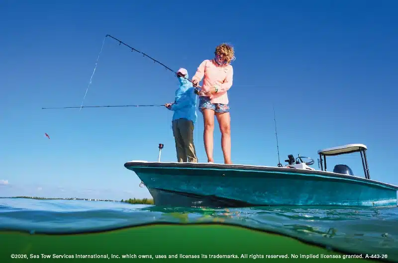
Manufacturer specifications provide a dry, baseline draft, but a boat rarely operates in factory-empty conditions. Fuel tanks weighing hundreds of pounds, freshwater storage, auxiliary gear, anchors, and human cargo alter the waterline.
As weight increases and shifts, it alters the vessel’s trim—lowering the bow or stern—and pushes the deepest appendages closer to the seabed. Captains must calculate their current operating draft, recognizing that components like outboard engines tilted down, deep-fin keels, or protective running gear often extend significantly deeper than the nominal hull draft.
Official Statements & Industry Guidance
Navigational authorities and maritime rescue organizations consistently emphasize that safe water management leaves no room for complacency. Industry leaders view under-keel clearance not as a static mathematical exercise, but as an active risk-management protocol.
Maritime safety experts point out that a positive under-keel clearance calculation—even one showing several feet of apparent room—does not guarantee a safe passage. Environmental factors routinely compress the available safety buffer.
Furthermore, professional towing and rescue organizations stress that depth sounders must be interpreted with extreme care. Because a transducer measures only the column of water directly beneath its specific hull placement, it cannot warn a captain of a shallow shoal looming just feet to port or starboard. Relying exclusively on an active depth sounder without maintaining situational awareness of charted bottom contours is a primary contributor to avoidable groundings.
Future Outlook: Technology, Data Integration, and Modern Seamanship
As the maritime industry moves deeper into the digital age, the tools available for calculating and maintaining safe under-keel clearance are undergoing a profound evolution.
Advanced Bathymetric Data and Crowd-Sourced Soundings
Traditional hydrographic surveys can take years to update, leaving dangerous gaps in fast-changing coastal environments. The future of shallow-water navigation relies on high-resolution, crowd-sourced bathymetry and real-time electronic charting updates. Modern marine applications allow mariners to cross-reference official NOAA data with live, community-driven depth reports, offering a much clearer picture of localized shoaling.
Smart Integration of Real-Time Sensors
The integration of Internet of Things (IoT) sensors aboard recreational and commercial vessels is streamlining draft monitoring. Future vessel management systems will automatically factor in real-time fuel burn, water consumption, and cargo shifts to provide captains with a continuously updated, dynamic calculation of their vessel’s true operating draft.
Predictive Hydrodynamic Modeling
Emerging navigation software is beginning to incorporate advanced hydrodynamic modeling that automatically calculates vessel "squat" based on hull shape, displacement, speed, and real-time channel depth constraints. As these systems mature, they will provide predictive warnings well before a vessel enters restricted-depth zones, transforming UKC management from a manual chore into an automated, proactive safety shield.
Frequently Asked Questions
Do I add the tide height to the charted depth?
Yes, but only under strict conditions: both the charted depth and the predicted tide height must use compatible vertical datums (such as MLLW) and identical units of measurement. Adding a positive tide height increases your estimated water depth, while a negative tide height reduces it.
Is Mean Lower Low Water (MLLW) the same as mean sea level?
No. MLLW is the average height of the lower of the two daily low tides observed over a specific 19-year cycle. Mean sea level represents the average height of the entire sea surface over that same period. Using one in place of the other will introduce severe calculation errors.
Does a charted depth include my boat’s draft?
Emphatically, no. Charted depths measure the distance from the chart datum to the seabed. Your boat’s draft represents the distance from the waterline to the lowest point of your hull or running gear. You must independently determine your draft and subtract it from the estimated water depth.
Why does my depth sounder differ from what is printed on the chart?
Discrepancies occur due to a combination of factors: fluctuating tides, meteorological effects on water levels, transducer offsets (where the sounder measures from the transducer face, waterline, or keel), local bottom changes since the last survey, and your exact GPS position relative to charted spot soundings.
Can I safely pass through water that is exactly equal to my vessel’s draft?
Never. If the water depth matches your draft precisely, your under-keel clearance is zero. Wave action, boat motion, an uneven or rocky bottom, and inevitable calculation uncertainties mean your hull will almost certainly make contact with the seabed. Always seek deeper water, wait for a rising tide, or alter your course.