



Executive Overview
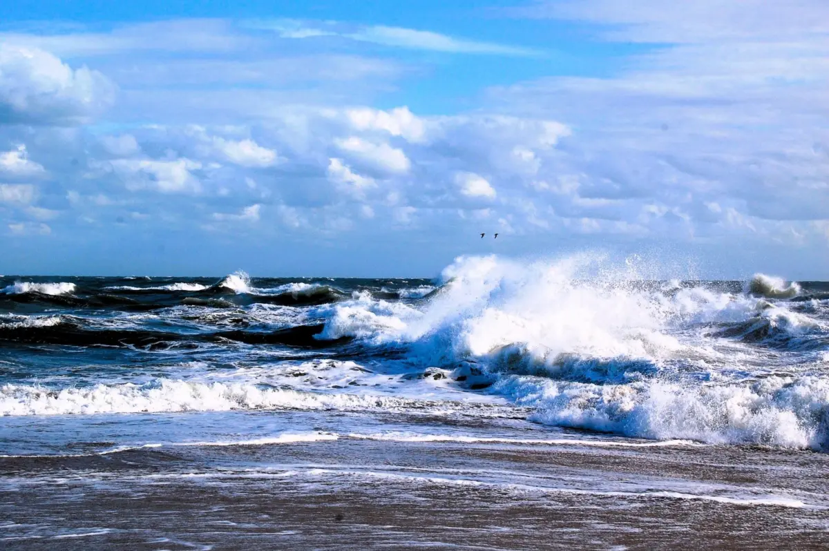
To the casual observer, the expanse of the ocean appears as a boundless, ever-shifting horizon—unpredictable, wild, and largely inscrutable. Yet, beneath the rolling waves and coastal swells lies a sophisticated, silent network of technological sentinels: the United States Integrated Ocean Observing System (IOOS). Managed in partnership by the National Oceanic and Atmospheric Administration (NOAA), academic institutions, local governments, and 11 specialized regional associations, IOOS serves as the foundational nervous system for maritime America.
Most citizens remain unaware that IOOS exists. They do not see the high-frequency radar stations lining the bluffs, the autonomous underwater gliders traversing frigid currents, or the deep-sea buoys enduring punishing gales. Yet, the fingerprints of this system are stamped onto nearly every facet of modern life. Whether a family checks the weekend surf report, an emergency dispatcher calculates a search-and-rescue drift vector, or an inland consumer purchases imported goods unloaded at a bustling port, they are relying on the invisible streams of data generated by America’s ocean observing network.
Today, however, this critical public infrastructure faces an unprecedented threat. Amid shifting budgetary priorities in Washington, federal investments supporting NOAA and its foundational observation apparatus are facing severe funding pressures. Experts warn that rolling back support for ocean science will not halt rising seas, mitigate hurricanes, or prevent harmful algal blooms—it will simply force coastal communities, maritime industries, and emergency responders to navigate these hazards blindly. As climate volatility accelerates and weather patterns grow increasingly erratic, preserving this system is no longer merely a matter of academic curiosity; it is an urgent economic and national security imperative.
Detailed Chronology: The Evolution of America’s Ocean Watch
The path toward a unified national ocean observing system was not forged overnight. It is the result of decades of technological evolution, institutional collaboration, and hard-earned lessons from historical maritime and meteorological disasters.
- The Mid-to-Late 20th Century (The Fragmented Era): For generations, ocean data collection was isolated and disjointed. Individual academic institutions, the U.S. Navy, the Coast Guard, and various state agencies deployed their own instruments for localized purposes. Weather forecasting relied heavily on atmospheric data, treating the ocean surface as a simple boundary layer rather than a dynamic, interactive driver of global climate.
- The 1990s (The Call for Integration): As computational power surged and satellite remote sensing emerged, scientists recognized that discrete, unlinked data streams were insufficient to track complex phenomena like El Niño, marine heatwaves, and coastal erosion. Marine scientists and policymakers began advocating for a "system of systems" that could synthesize real-time data across disciplines and regions.
- 2000–2009 (Legislative Foundation and IOOS Establishment): Responding to growing economic pressures on maritime commerce and coastal safety, Congress authorized the formal development of IOOS. Codified through subsequent legislation including the Integrated Coastal and Ocean Observation System Act, the initiative brought federal agencies together with regional associations to standardize data collection, eliminate redundancies, and democratize access to marine intelligence.
- The 2010s (Technological Expansion and Proliferation): The system matured rapidly with the advent of autonomous underwater gliders, advanced buoy arrays, and high-frequency radar networks capable of mapping surface currents in real time. Regional associations tailored these tools to unique geographic needs, from the icy waters of the Gulf of Maine to the dynamic currents of the Pacific Northwest.
- The Present Era (2026 and Beyond): Today, IOOS stands as a mature, multi-tiered infrastructure facing its most critical crossroads. As the tropical Pacific prepares for a potent El Niño cycle projected for late 2026 and early 2027, the demand for high-resolution coastal data has never been higher. At the same time, the institutional frameworks supporting these observations face acute fiscal headwinds in Washington, threatening decades of continuous scientific progress.
Supporting Context & Metrics: Why Ocean Observations Matter
To understand the value of IOOS, one must examine the staggering scale of the maritime economy and the relentless nature of ocean-driven hazards. The ocean and Great Lakes support millions of American jobs across shipping, commercial fishing, tourism, and recreational boating. Furthermore, America’s ports handle trillions of dollars in cargo annually.
The Lifeline of Marine Commerce and Navigation
Modern container ships are engineering marvels, but they are also massive, deep-draft vessels highly vulnerable to shifting shoals, crosscurrents, and rogue waves. Safe navigation into ports like Los Angeles, Houston, or New York requires exact, real-time measurements of water levels and currents. A miscalculation of even a few inches can lead to groundings, environmental disasters, or catastrophic supply chain bottlenecks that ripple across the entire North American economy.
Search and Rescue Operations
When a vessel capsizes or a swimmer is swept out to sea by a rip current, time is measured in minutes. Search-and-rescue teams from the U.S. Coast Guard do not search blindly; they utilize near-real-time surface-current models fed by IOOS radar and buoy networks. By calculating vector drift with high precision, these models narrow search grids from hundreds of square miles down to manageable zones, directly saving human lives.
Monitoring Ecological and Public Health Hazards
Coastal ecosystems are increasingly battered by harmful algal blooms (HABs)—often referred to as "red tides." These toxic proliferations devastate local fisheries, shutter recreational beaches, and pose severe human health risks through seafood contamination. Ocean observing systems track water temperature, salinity, and nutrient transport, giving local authorities advanced warning to close shellfish beds and protect public health before outbreaks peak.
The Looming Threat of the 2026–2027 El Niño
Meteorological models indicate a greater than 90% probability that a robust El Niño event will dominate the tropical Pacific through the 2026–2027 fall and winter seasons. While global forecasting systems track the broader atmospheric-oceanic oscillation, IOOS regional observing networks—such as those along the U.S. West Coast—provide the crucial localized resolution. They measure how massive Pacific temperature anomalies interact with regional coastal waters, warning communities about heightened risks of coastal flooding, severe erosion, and disrupted fisheries.
Official Statements and Expert Perspectives
The debate surrounding federal investment in NOAA and IOOS has galvanized leaders in marine science, public policy, and environmental conservation.
"Most Americans have likely never heard of the United States Integrated Ocean Observing System, or IOOS. Yet if you have ever checked conditions before heading to the beach, relied on a hurricane forecast, eaten American seafood or bought a car, a new phone or a pair of shoes that arrived through a U.S. port, you have benefited from the kind of ocean information this system helps provide."
— Rachel Brittin, former NOAA Deputy Director of External Affairs and founder of Vireo Communications
Brittin emphasizes that treating ocean observation as an expendable line item fundamentally misunderstands its nature as foundational public infrastructure:
"That is why ocean observing is not simply a science program; it is public infrastructure. Some infrastructure carries cars, electricity or drinking water. IOOS carries information, and that information helps people make decisions that can protect lives, livelihoods and communities."
Environmental advocates and scientific coalitions echo these warnings, stressing that the cost of inaction far outweighs the short-term savings of budget cuts. When a continuous data record is severed, the loss is permanent. Short-term fixes cannot recreate decades of uninterrupted baseline data, which are essential for distinguishing natural decadal variability from accelerated, human-induced climate shifts.
Future Outlook: The Choice Ahead for America’s Coasts
As the United States looks toward the remainder of the decade and beyond, the trajectory of its ocean observing infrastructure hangs in the balance. The physical drivers of our climate system will not pause for political debate. Hurricanes will continue to intensify over warming waters; sea levels will continue to challenge coastal infrastructure; and maritime commerce will continue to demand pinpoint navigational accuracy.
The elimination or downsizing of programs under NOAA and IOOS creates an informational vacuum. If policymakers choose to disinvest from this monitoring network, the hazards will not vanish—our awareness of them simply will.
Protecting this system requires active civic engagement and sustained congressional support during the federal appropriations process. Organizations like Ocean Conservancy, alongside academic and industrial partners, are actively mobilizing to urge lawmakers to prioritize marine infrastructure in Fiscal Year budgets.
The ocean never stops changing. For a nation whose economy, security, and cultural identity are inextricably linked to its coasts, stopping our watch is a risk we cannot afford to take.
Take Action
To support robust federal funding for NOAA and America’s ocean observing system, concerned citizens can contact their elected officials. Urge Congress to prioritize marine science and ocean infrastructure in the upcoming federal appropriations process to ensure that communities, mariners, and economists retain the vital information needed to navigate an uncertain future.