




Executive Overview
Nestled within the undulating topography of America’s vast Ozark region lies one of the Midwest’s best-kept aquatic secrets: the James River. Spanning approximately 130 miles within the borders of Missouri, this serene, winding waterway carves a path through the heart of the Show-Me State’s southern landscape, flowing gracefully from its origins north of Springfield—affectionately known as the "Queen City of the Ozarks"—down toward Table Rock Lake near the entertainment hub of Branson.
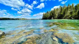
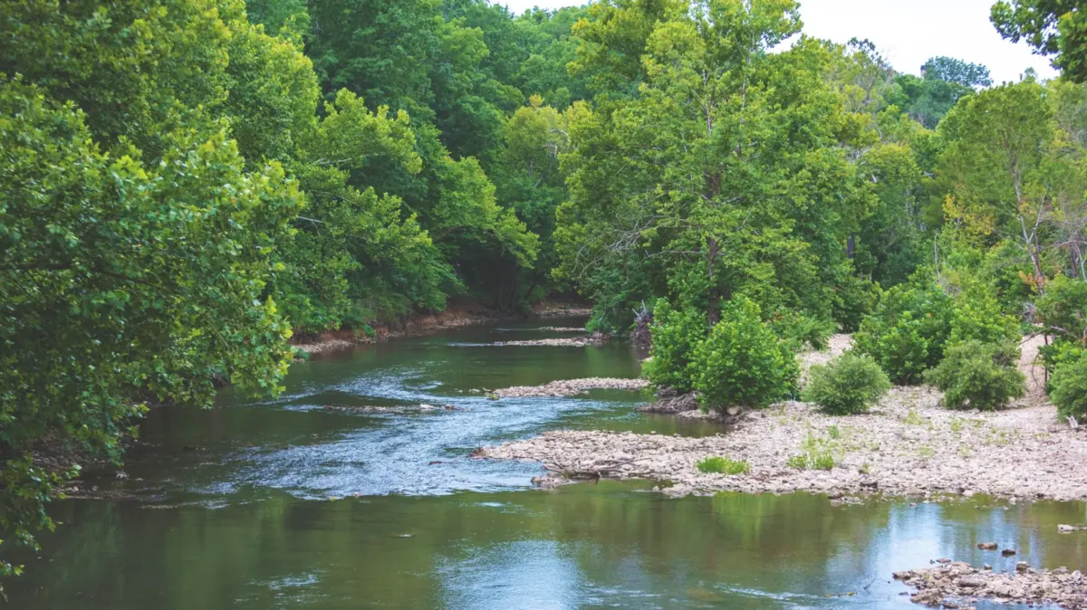
While travelers frequently flock to Missouri for the neon-lit stages of Branson or the urban amenities of Springfield, the James River offers an entirely different pace of life. Characterized by tranquil forested banks, dramatic limestone bluffs, Class I rapids, and pebbly freshwater beaches, the river serves as a premier ecosystem for outdoor recreation. From tubing, canoeing, and stand-up paddleboarding to premier smallmouth bass fishing and riverside camping, the James River bridges the gap between rugged wilderness exploration and accessible weekend leisure.
This comprehensive guide examines the geography, recreational infrastructure, seasonal dynamics, and accommodation options along the James River. Whether you are an avid angler searching for trophy smallmouth bass, a family looking for a lazy summer tube float, or an outdoor enthusiast seeking a peaceful retreat into nature, the James River watershed delivers a quintessential Ozark experience.
Detailed Chronology: The Journey of the James River
To fully appreciate the James River, one must trace its path from its northern headwaters to its southern terminus. Geographers and local recreation experts generally divide the river’s journey into three distinct sections: the Upper James, the Middle James, and the Lower James. Each segment offers a completely different hydrological profile, visual aesthetic, and recreational utility.
The Upper James: Tranquility Near the Queen City
The journey begins just north and east of Springfield, where the infant river winds its way through quiet agricultural lands and developing suburban fringes. The Upper James is defined by its gentle, slow-moving currents and densely forested banks. This portion of the river meanders southward, eventually feeding into Lake Springfield.
Because the upper stretches run close to urban populations, they offer quick escapes for day-trippers. However, public access points are more selective here, and riverside camping options are sparse. Navigating the Upper James requires patience and a penchant for birdwatching and quiet photography, as the waters here are less suited for high-speed watercraft and more tailored to meditative paddling.
The Middle James: Limestone Bluffs and Gentle Rapids
As the river pushes southward past communities like Crane and Highlandville, it transitions into the Middle James. This middle corridor is where the landscape begins to dramatically shift into the classic topography of the Missouri Ozarks. Towering limestone rock formations frame the riverbanks, casting cool shadows over emerald-green pools.
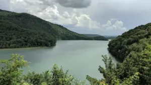
The Middle James introduces mild, manageable rapids that inject a touch of excitement into float trips without overwhelming novice paddlers. Historic landmarks, such as the Hootentown Bridge, punctuate this stretch, offering visual markers for those navigating the waters by kayak or canoe. The transition from the calm upper reaches to the more dynamic middle section marks a noticeable uptick in recreational infrastructure, including outfitter hubs and localized access ramps.
The Lower James: Beaches, Bluffs, and Table Rock Confluence
The final leg of the river’s journey unfolds along the Lower James, stretching toward its final destination at Table Rock Lake. Centered largely around the historic town of Galena, the Lower James is the epicenter of the region’s commercial outfitting and floating culture.
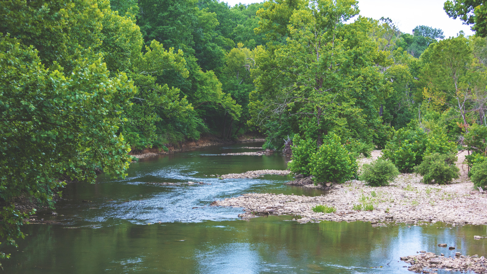
Here, the river showcases its most dramatic geological features: soaring bluffs, sprawling gravel bars, and small, sun-drenched freshwater beaches. The current quickens slightly, featuring Class I rapids that keep floating trips lively and engaging. As the river nears the end of its course, it widens, merging seamlessly with the immense waters of Table Rock Lake, a massive reservoir that draws boaters from across the Midwest.
Supporting Context & Metrics: Geography, Recreation, and Angling
The Ozark Landscape Context
To understand the James River, one must look at the macro-geography of the region. America’s Ozark region spans approximately 50,000 square miles across five states: Arkansas, Illinois, Kansas, Oklahoma, and Missouri. Missouri claims the lions share of this territory, with 33,000 square miles—representing nearly half of the entire state’s total land area. The rugged, ancient plateaus of the Ozarks were formed through millions of years of water erosion, creating the intricate network of spring-fed rivers, underground caves, and limestone bluffs that define southern Missouri today.
Floating and Boating Infrastructure
The James River is an economic and recreational anchor for southwestern Missouri. Floating is unquestionably the most popular activity on the water, with outfitters strategically clustered along the Lower James in Galena and further north in Crane.
- Float Excursions: Typical float trips range from 2 to 6 miles, serviced by local outfitters who provide tubes, lifejackets, and essential shuttle services.
- Watercraft Variety: The rental market has expanded far beyond traditional inner tubes. Visitors can secure tandem kayaks, whitewater canoes, 10-person party rafts, and stand-up paddleboards (SUPs).
- Powered Boating: For those who prefer motorboating over human-powered floating, numerous concrete boat ramps are strategically distributed along the riverbanks, allowing motorized vessels to access deeper pools, particularly as the river nears Table Rock Lake.
Angling and Fishery Dynamics
For anglers, the James River is a premier destination for warm-water sportfishing. The river ecosystem supports a healthy, reproducing population of native fish species.
- Target Species: The undisputed king of the James River is the smallmouth bass, prized for its aggressive strikes and acrobatic fights. Anglers frequently pull smallmouths from the rocky eddies and swift currents. Additionally, the river holds healthy populations of goggle-eye (rock bass), largemouth bass, and spotted bass.
- Prime Fishing Zones: According to local fishing guides, the most productive waters for casting lines are concentrated between the Hootentown Bridge near Highlandville and the Historic Y Bridge in Galena. Early morning and late evening topwater fishing yield the highest success rates during the warmer months.
Official Access Points and Accommodations
Planning a successful trip to the James River requires a clear understanding of public access points and lodging options. Because riverside camping is heavily restricted at direct access points, visitors must rely on a network of designated public boat ramps and private outfitters.
Key Access Points by River Section
-
Upper James Access Points:
- Joe Crighton Access: A popular starting point for those looking to explore the northern reaches near Springfield.
- Southwood Access: Offers convenient mid-upper river entry.
- Lake Springfield: The transitional body of water absorbing the upper river flow.
-
Middle James Access Points:
- Tailwaters: Located just below the Lake Springfield dam structure.
- Delaware Town: A historically significant access point steeped in regional lore.
- Shelvin Rock: Known for its prominent rock formations and scenic vistas.
- Hooten Town (Hootentown): A bustling recreational hub ideal for launching floats through the middle rapids.
-
Lower James Access Points:
- H.L. Kerr Access: A well-maintained launch site providing easy water entry on the lower river.
- Ralph Cox Memorial Access (Cox Memorial): Situated further south near Galena, serving as a primary gateway to the river’s final miles before Table Rock Lake.
Camping and Lodging Infrastructure
While roughing it directly on primitive gravel bars is subject to strict local regulations, private campgrounds, RV parks, and cabin rentals have flourished along the river corridors in Crane and Galena.
- Finley and James River Company (Crane): Located roughly 30 minutes north of Galena, this outfitter provides comprehensive amenities, including primitive tent sites, full-hookup RV sites, pet-friendly grounds, reliable Wi-Fi, and individual fire rings. They facilitate kayaking, canoeing, and tubing.
- Horsecreek Ranch & Retreat (Galena): An expansive retreat offering dedicated tent camping areas, an on-site bathhouse, and exclusive guest admission to the property’s private Eagles Bluff Beach.
- James River Outfitters (Galena): A cornerstone of the local floating community featuring tent sites, full-hookup RV spots, modern bathhouses, and riverside cabins.
- James River Hideout (Galena): Offers upscale cabin rentals equipped with kitchenettes, climate control, and panoramic views of the water, comfortably accommodating groups of up to five guests.
Future Outlook: Balancing Tourism, Conservation, and Seasonal Timing
Navigating Seasonal Dynamics
Choosing the right time to visit the James River depends entirely on the visitor’s recreational goals:
- Summer Peak Season: Running from June through August, summer brings warm air and ideal water temperatures for swimming, tubing, and lazy-river lounging. However, this is also peak tourism season. Travelers wishing to avoid crowds or secure preferred cabin rentals must book months in advance. Local outfitters note that weekends during July experience maximum capacity.
- Spring Shoulder Season: For those prioritizing paddling, kayaking, and serene wildlife viewing, the spring season—particularly the month of May—presents optimal water levels, lush green foliage blooming along the limestone bluffs, and cooler ambient temperatures.
Conservation and Regional Expansion
As eco-tourism continues to surge in the Missouri Ozarks, local land managers, conservation groups, and outfitters face the ongoing challenge of balancing public access with environmental preservation. Keeping the James River clean requires strict "leave no trace" ethics from the thousands of tubers and boaters who visit annually. Protecting water quality ensures that the smallmouth bass fishery remains robust and the limestone bluffs remain pristine for future generations.
Furthermore, the James River serves as a gateway to broader regional exploration. Travelers looking to extend their Ozark itineraries can easily take a short 30-mile downriver detour from the Cox Memorial Access to Dogwood Canyon Nature Park. This immaculate, privately managed park features crystal-clear spring-fed streams, cascading waterfalls, rugged hiking trails, and carefully preserved wildlife habitats, providing a seamless extension of the natural wonder found along the James River.
Ultimately, whether you are floating past the towering bluffs of Galena, casting a line into a deep green eddy near Hootentown, or resting by a campfire under the Missouri stars, the James River remains an irreplaceable sanctuary of natural beauty in the heart of the American Midwest.