







Executive Overview
Navigating the world’s waterways—whether bustling inland rivers, crowded coastal channels, or open oceans—demands constant vigilance, situational awareness, and a fluent understanding of the universal language of the sea. While marine electronics, radar, and Automatic Identification Systems (AIS) have transformed modern navigation, the fundamental rules of the road at sea still rely heavily on visual communication. Among the most critical tools in a mariner’s visual arsenal are navigation lights and day shapes.
Together, these standard visual indicators act as the maritime equivalent of traffic signs, signals, and hazard warnings. They inform fellow boaters about a vessel’s operational status, its size, its direction of travel, and, most importantly, its ability—or inability—to maneuver. Whether a commercial cargo ship is restricted in its draft, a specialized tug is managing a complex and hazardous tow, a sailboat is secretly motoring under power, or a distressed vessel has run hard aground, these shapes and lights broadcast vital intelligence across the water.
Failing to recognize or misinterpreting these signals can lead to catastrophic consequences, including high-speed collisions, groundings, and fatal entanglements in towing gear. This comprehensive report explores the operational mechanics, regulatory frameworks, standard configurations, and real-world safety strategies associated with maritime day shapes and navigation lights. Designed for both seasoned commercial captains and weekend recreational boaters, this guide serves as an authoritative resource for mastering the visual lexicon of the water.
Detailed Chronology & Regulatory Evolution
The system of maritime signaling we rely on today is the product of centuries of maritime evolution, international diplomacy, and tragic lessons learned from historical collisions. Before the standardization of navigation lights, mariners relied on erratic, ad-hoc methods—such as shouting, blowing horns, or hanging lanterns over the side of wooden hulls—to avoid nighttime collisions.
The 19th Century: The Birth of Standardized Navigation Lights
As the Industrial Revolution brought steam-powered vessels to the world’s waterways, maritime traffic density surged, and speeds increased dramatically. The sheer volume of traffic necessitated a uniform system to prevent catastrophic night collisions.
- 1838 (United States): The U.S. Congress enacted legislation requiring steamboats on certain waters to carry lights after dark, though these rules lacked international uniformity.
- 1848 (Great Britain): The British Admiralty introduced formal requirements for colored sidelights (red for port, green for starboard) and a bright white masthead light for steam vessels.
- 1863: The British and French governments agreed on a comprehensive set of regulations, which were subsequently adopted by over 30 maritime nations. This marked the true birth of international "Rules of the Road" at sea.
The 20th Century: The International Regulations for Preventing Collisions at Sea (COLREGs)
As aviation and radio communications developed, the need for a universally recognized, legally binding global code became paramount.
- 1972: The International Maritime Organization (IMO) convened a conference in London that finalized the Convention on the International Regulations for Preventing Collisions at Sea, 1972 (COLREGs).
- July 15, 1977: The COLREGs formally entered into force internationally. Annex I and Annex II of the treaty explicitly standardized the technical details of navigation lights, while Annex I detailed the requirements for day shapes—specifying dimensions, colors (matte black), and positioning to ensure visibility under all daytime operating conditions.
Modern Era: Digital Integration and Continuous Vigilance
Today, the COLREGs govern navigation lights and day shapes worldwide. While modern electronic navigation aids like AIS and GPS chart plotters provide an incredible amount of data, international maritime law still mandates that lookouts rely primarily on visual and auditory observations. Day shapes and navigation lights remain the ultimate, fail-safe visual language of the sea, impervious to cyber-attacks, power failures on remote vessel networks, or software glitches.

Supporting Context & Operational Mechanics
To effectively interpret what is happening around a vessel, mariners must understand when, why, and how these visual signals are deployed. The distinction between day and night signaling is precise, rooted in the physics of visibility and international maritime law.
The Temporal Divide: Day Shapes vs. Navigation Lights
The operational rules governing these two forms of visual communication are mutually exclusive in their primary timing, yet complementary in their purpose:
[Operational Condition] ──┬── (Sunset to Sunrise / Low Visibility) ──► Navigation Lights (Red, Green, White, Yellow)
└── (Daylight Hours Only) ──► Day Shapes (Black Balls, Cones, Diamonds, Cylinders)- Navigation Lights: Required by COLREG Rule 20 to be displayed from sunset to sunrise and during periods of restricted visibility (such as heavy fog, dense rain, or snowstorms). These electric lights must meet strict specifications regarding luminous intensity, horizontal and vertical arc visibility, and range (measured in nautical miles based on vessel length).
- Day Shapes: Required by COLREG Rule 18 and related operational rules to be displayed only during daylight hours. Crafted as solid, rigid geometric objects—typically constructed of durable canvas, metal, or plastic—they are painted matte black to maximize contrast against the sky or water. They must be large enough to be easily spotted at a distance; for most vessels, balls, cones, and cylinders must have a minimum diameter or base width proportional to the vessel’s size.
The Four Primary Day Shapes
Every complex day shape combination is constructed from four fundamental geometric building blocks:
- The Ball: A spherical object that universally signals restriction, immobilization, or anchoring. A single ball indicates an anchored vessel; multiple balls indicate more severe conditions such as grounding or being "not under command."
- The Cone: A conical shape whose meaning is dictated entirely by its orientation. Pointing downward, it signifies a sailboat operating under auxiliary engine power. Arranged base-to-base (two cones pointing away from each other), it signals a vessel engaged in commercial fishing.
- The Diamond: A faceted shape frequently used to denote specialized operations or restricted maneuverability. When combined with balls (ball-diamond-ball), it warns other mariners that a vessel has limited capability to alter course.
- The Cylinder: A tubular shape reserved for a singular, highly specific operational constraint: a vessel constrained by its draft.
Detailed Breakdown of Common Signage and Light Combinations
Recognizing isolated shapes is only half the battle. On the water, boaters frequently encounter combinations that dictate specific hazards and right-of-way rules. Below is a detailed breakdown of the most critical day shapes and their corresponding nighttime navigation light configurations.
1. Vessel at Anchor
- Daytime Signal: A single black ball displayed forward where it can best be seen.
- Nighttime Signal: One or more all-round white anchor lights. (Vessels under 50 meters display one all-round white light; larger vessels display a forward and a lower aft light).
- Operational Reality: An anchored vessel is stationary relative to the seabed, but it may swing with the wind and tide. Note that a boat tied securely to a dock is not considered at anchor and does not display these signals.
2. Vessel Aground
- Daytime Signal: Three black balls displayed in a vertical line.
- Nighttime Signal: Two all-round red lights in a vertical line, displayed alongside the standard anchor light or lights.
- Operational Reality: A vessel that has run aground is an unexpected navigational hazard. Because it is immobile and may be experiencing structural stress or listing, surrounding mariners must give it an exceptionally wide berth.
3. Vessel Not Under Command (NUC)
- Daytime Signal: Two black balls in a vertical line.
- Nighttime Signal: Two all-round red lights in a vertical line. If the vessel is moving through the water, it may also display sidelights and a sternlight.
- Operational Reality: A vessel "not under command" has suffered an exceptional failure—such as steering gear failure, propulsion loss, or severe engine room flooding—rendering it unable to maneuver as required by the COLREGs. Other vessels must keep clear of its path entirely.
4. Vessel Restricted in Its Ability to Maneuver (RAM)
- Daytime Signal: A vertical shape pattern consisting of a ball, a diamond, and a ball ($bullet$ ♦ $bullet$).
- Nighttime Signal: Three all-round lights in a vertical line: red, white, and red (R-W-R).
- Operational Reality: These vessels are performing specialized work that severely restricts their ability to alter course—such as dredging, underwater surveying, laying submarine cables, or servicing navigational aids. They maintain right-of-way over most other traffic, and mariners must pass with extreme caution.
5. Vessel Engaged in Fishing
- Daytime Signal: Two cones placed apex-to-apex (point-to-point) in a vertical line. If the vessel is extending gear more than 150 meters horizontally, it may display an additional cone pointing upward in the direction of the gear.
- Nighttime Signal: Two all-round lights in a vertical line—red over white for trawling, or red over green for fishing other than trawling. Sidelights and a sternlight are added if the vessel is making way.
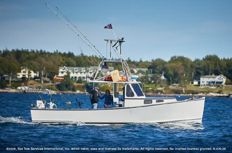
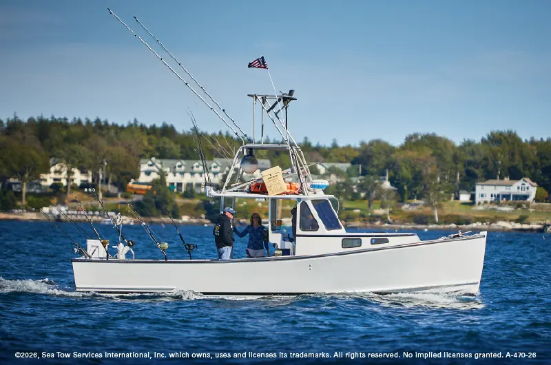
- Crucial Distinction: This classification applies strictly to commercial fishing vessels utilizing nets, lines, trawls, or gear that restricts maneuverability. A recreational angler casting lines from a center-console boat does not constitute a commercial fishing vessel under these rules.
6. Sailboat Operating Under Auxiliary Power
- Daytime Signal: A black cone pointing downward, displayed forward where it can best be seen.
- Nighttime Signal: Standard power-driven vessel navigation lights (sidelights, sternlight, and masthead light).
- Operational Reality: Under COLREG Rule 18, when a sailboat hoists its sails and engages its auxiliary engine, it legally ceases to be a sailing vessel and becomes a power-driven vessel. Failing to display the downward cone during the day can create dangerous assumptions regarding right-of-way.
7. Towing Vessels
- Daytime Signal: A diamond shape displayed on the tow if the towing length exceeds 200 meters. (The towing vessel itself may display shapes depending on the length of the tow).
- Nighttime Signal: A towing vessel displays yellow overhauling lights above its sternlight, alongside specific masthead light configurations indicating the length of the tow.
- Operational Reality: Towing operations represent some of the most hazardous scenarios on the water. The towline itself is often nearly invisible, suspended just beneath the surface or bridging a massive gap. Never attempt to pass between a towing vessel and its tow.
Official Statements & Industry Expert Insights
Maritime authorities, Coast Guard officials, and professional towing organizations continually emphasize that visual signals are non-negotiable foundations of safe seamanship.
"In an era dominated by glass-bridge electronics and digital chartplotters, it is easy for modern mariners to become complacent behind screens," notes a senior spokesperson for Sea Tow Services International. "However, electronics fail, batteries die, and sensors go blind in heavy weather. Day shapes and navigation lights represent the ultimate analog safety net. Recognizing that a vessel displays a ball-diamond-ball pattern instantly tells a captain to slow down, assess the work zone, and yield the right of way long before an electronic warning ever triggers."
United States Coast Guard (USCG) marine safety investigators frequently echo these sentiments in accident reports, noting that collisions frequently occur when recreational boaters fail to understand that commercial vessels—such as tugs and dredges—cannot stop or turn quickly.
"When a commercial dredger displays red-white-red lights at night or a ball-diamond-ball shape during the day, it is declaring an operational limitation," states a veteran Coast Guard marine inspector. "Recreational boaters who assume they can ‘squeeze past’ a restricted vessel often misjudge stopping distances and hydrodynamic forces, resulting in catastrophic collisions."
Future Outlook: The Intersection of Tradition and Technology
As the maritime industry marches further into the 21st century, the debate surrounding navigation safety centers on how traditional visual signals integrate with emerging technologies.
The Limits of AIS
The Automatic Identification System (AIS) has revolutionized maritime traffic management. Large commercial vessels, passenger ships, and commercial tugs are required to broadcast their position, speed, and heading via VHF radio frequencies. However, maritime experts caution against over-reliance on AIS for several reasons:
- Exemptions: Smaller commercial vessels, recreational boats, and certain government craft are not universally required to carry or transmit AIS transponders.
- Signal Latency & Dropouts: In congested harbors or remote coastal areas, AIS signals can suffer from clutter, interference, or outright dropouts.
- Operational Blind Spots: AIS tells you where a vessel is, but day shapes and navigation lights tell you what the vessel is currently doing (e.g., whether it is snagged on an anchor, laying cable, or drifting uncommanded).
Autonomous Surface Vessels (ASVs) and Visual AI
Looking toward the horizon, the development of Autonomous Surface Vessels (ASVs) and unmanned commercial cargo ships is driving a renaissance in optical recognition technology. Artificial Intelligence (AI) and high-definition computer vision systems are currently being trained to recognize navigation lights and day shapes with superhuman precision. Machine learning models analyze live camera feeds to instantly identify a vessel’s day shapes—such as distinguishing a sailboat’s downward cone from a fishing vessel’s double-cone—ensuring that autonomous navigation algorithms adhere strictly to the COLREGs.
Conclusion and Best Practices for Mariners
Mastering the visual language of day shapes and navigation lights does not require instantaneous memorization of every obscure sub-rule in the COLREG rulebook. Instead, mariners should focus on recognizing the most common and high-risk signals:
- The Golden Rule of Uncertainty: If you spot a day shape combination or a set of navigation lights that you cannot instantly identify, assume the worst-case scenario. Slow down immediately, widen your CPA (Closest Point of Approach), and give the vessel a wide berth while you consult reference materials.
- Pre-Departure Inspections: Before untying the dock lines, captains must verify that all navigation lights are clean, fully functional, and compliant with visibility standards. Similarly, ensure that required day shapes (such as an anchor ball or motoring cone) are stowed aboard and readily accessible.
- Maintain Visual Watch: Never rely solely on radar or chart plotters. Keep your eyes on the water, scan the horizon regularly, and respect the silent, timeless communication transmitted by the lights and shapes around you.
By honoring these traditions and maintaining sharp visual awareness, boaters can ensure safer, more confident voyages across every mile of navigable water.