



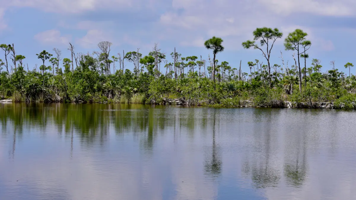
Deep within the sun-drenched, saltwater-dominated archipelago of the Florida Keys lies an ecological paradox: the Blue Hole of Big Pine Key. While the broader 200-mile tropical chain is celebrated for its turquoise Atlantic shallows, thriving coral reefs, and boundless marine environments, freshwater is an exceedingly rare commodity. Barring brackish anomalies like Lake Surprise and a scattering of temporary seasonal marshes, the lower Florida Keys are virtually devoid of natural freshwater bodies.
Enter the Blue Hole—the largest freshwater lake in the region. Surprisingly, this vital sanctuary is not a pristine natural formation sculpted over millennia by geological uplift or glacial retreat. Instead, it is the accidental masterpiece of industrial enterprise, forged from a once-thriving early 20th-century limestone quarry. Today, this abandoned excavation site serves as a vital ecological anchor within the National Key Deer Refuge. Fusing human history with a thriving biological mosaic, the Blue Hole draws naturalists, wildlife photographers, and conservationists from across the globe to witness a unique intersection of heavy industry turned resilient wilderness.
Detailed Chronology: From Industrial Excavation to Ecological Sanctuary
To understand how a deep, steep-walled quarry transformed into a freshwater haven, one must trace the timeline of infrastructure development in the American subtropics, the march of engineering ambition, and the quiet reclamation by nature.
The Era of Extraction (Early 20th Century)
The physical genesis of the Blue Hole is directly tied to one of the most daring engineering feats in United States history: Henry Flagler’s Overseas Railroad. Constructed between 1912 and 1935, this rail line sought to connect mainland Florida to Key West, effectively bridging a fragmented string of tropical islands.
Building a railway across treacherous tidal flats, mangrove swamps, and coral limestone required immense quantities of raw building material. Big Pine Key, rich in dense oolitic limestone, became a primary extraction point. Laborers and heavy machinery carved deep into the island’s crust, quarrying out stone used to lay foundations, build roadbeds, and construct vital infrastructure. When the excavation operations finally ceased, they left behind a massive, gaping scar in the island’s topography—a deep pit dipping well into the subterranean freshwater lens.
Nature’s Reclamation (Mid-20th Century)
As industrial machinery pulled out, nature immediately set to work. Over subsequent decades, rainwater collected in the deep limestone basin, pooling above a dense layer of saltwater that had seeped in through the porous surrounding rock walls. Without direct-flowing freshwater streams or subterranean artesian springs feeding the basin, the hydrological balance of the quarry settled into a unique stratification: a buoyant freshwater lens resting atop a denser, saltier bottom layer.
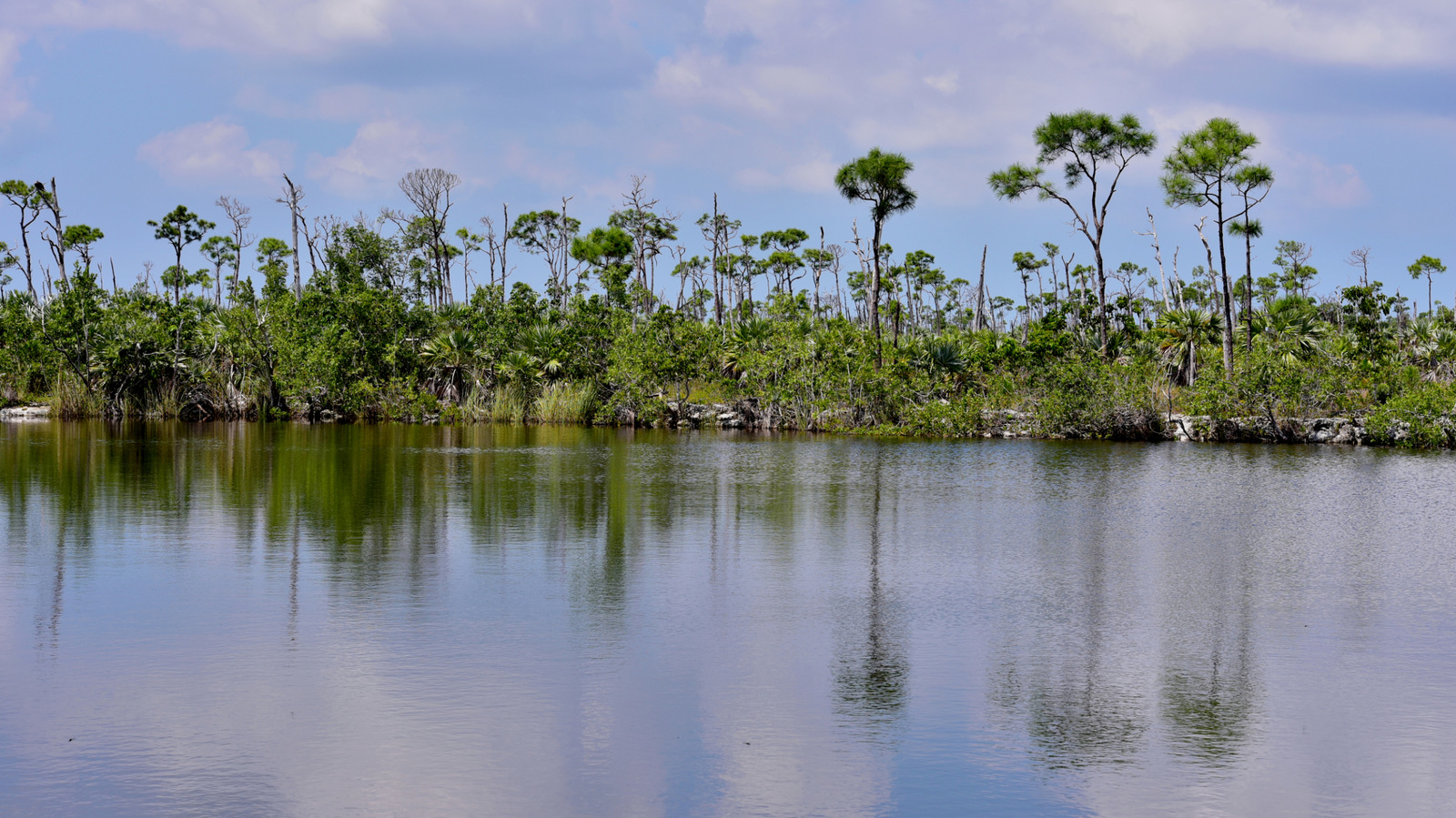
As native vegetation encroached upon the quarry’s perimeter, wildlife discovered the newly formed oasis. Migratory birds, reptiles, and endemic mammals realized that this artificial watering hole was a permanent refuge against the severe dry seasons characteristic of the Florida Keys. Recognizing its mounting ecological value, state and federal conservationists stepped in to protect the surrounding lands, ultimately integrating the Blue Hole into the National Key Deer Refuge established in 1957.
Supporting Context & Metrics: Ecosystem Dynamics and Geography
The Blue Hole spans an ecosystem defined by extremes, defying standard ecological classifications through its unique physical dimensions, hydrological makeup, and biological inhabitants.
Hydrological Composition and Depth
Unlike typical freshwater lakes fed by a network of rivers or streams, the Blue Hole’s water column is maintained through a delicate atmospheric and geological interplay. Rainfall remains the primary driver of its upper freshwater layer, while tidal pressures force saltwater through the microscopic fissures of the surrounding limestone bedrock. This creates a distinct halocline—a vertical salinity gradient where fresh water sits comfortably above salt water.
Though local tidal fluctuations and heavy tropical storms can occasionally turn the upper layers brackish, the basin predominantly functions as a freshwater resource. This provides a rare drinking source for terrestrial wildlife that would otherwise struggle to survive in the arid scrublands of the lower Keys.
Flora and Fauna Metrics
The biological richness housed within and around the Blue Hole is exceptional for a localized habitat:
- The National Key Deer Refuge: Encompassing thousands of acres on Big Pine Key, the refuge serves as the primary sanctuary for the endangered Key deer (Odocoileus virginianus clavium), the smallest subspecies of the North American white-tailed deer.
- Avian Diversity: Birders regularly document dozens of species frequenting the lake’s perimeter, including ospreys, green herons, magnificent frigatebirds, blue-gray gnatcatchers, white-eyed vireos, and anhingas.
- Aquatic Life: The lake is densely populated with native and introduced fish species. Notably, historical storm events—specifically major hurricanes—have driven marine species such as tarpon into the basin, where they adapted and became landlocked in the deep waters.
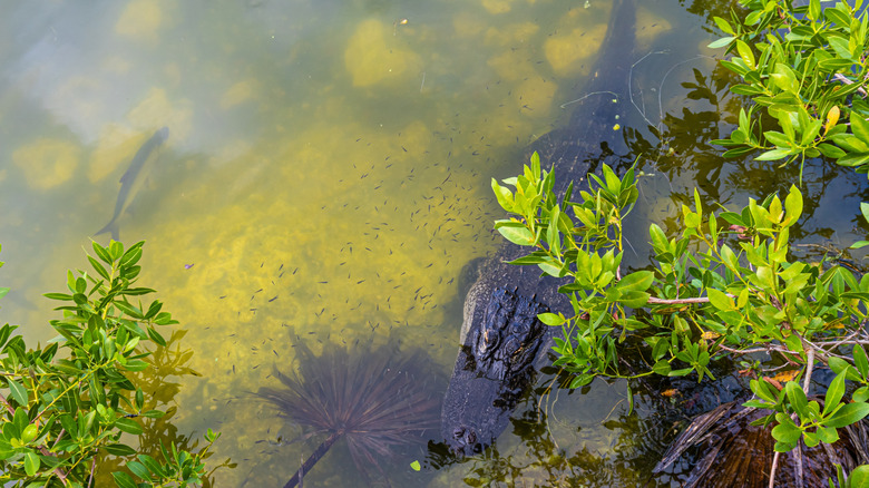
- Reptilian Residents: American alligators (Alligator mississippiensis) utilize the permanent waters of the Blue Hole as a prime habitat, frequently navigating the quarry alongside basking turtles, iguanas, and various snake species.
Navigational and Trail Metrics
For visitors seeking to explore the landscape, the area offers carefully maintained, low-impact infrastructure:
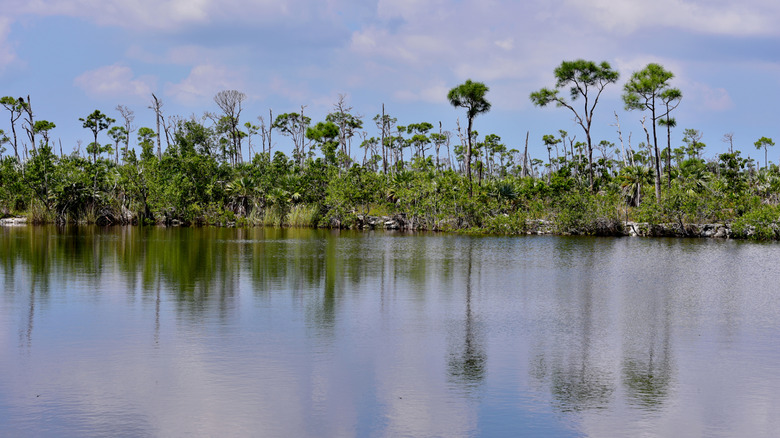
- The Blue Hole Trail: A brief, highly accessible 0.2-mile pathway looping around roughly half of the old quarry, interspersed with shaded benches.
- The Mannillo Trail: An 800-foot boardwalk stretching across hardened limestone terrain, leading to an elevated observation deck overlooking sprawling freshwater wetlands and dense saw palmetto and slash pine stands.
- The Watson Wildlife Trail: A 0.8-mile loop immersing hikers deeper into the karst landscape, pine rocklands, and wetland ecosystems synonymous with alligator sightings.
- Geographic Proximity: Located roughly a three-hour drive from Miami via the iconic Overseas Highway (U.S. Route 1), or a 45-minute drive northeast from Key West International Airport (EYW).
Official Statements & Conservation Insights
Wildlife management officials and environmental historians emphasize that the Blue Hole stands as a testament to successful habitat conservation, proving that human-altered landscapes can evolve into critical environmental sanctuaries under proper stewardship.
"The Blue Hole is more than just a scenic stop for tourists; it is the beating heart of the National Key Deer Refuge’s freshwater ecosystem," notes a senior conservation specialist managing the lower Florida Keys district. "In a region entirely surrounded by saltwater, this abandoned industrial quarry provides an irreplaceable lifeline for species that cannot survive without freshwater access, particularly during the intense dry season."
Refuge management frequently stresses the importance of responsible wildlife interaction, particularly regarding the endangered Key deer. While these diminutive deer have adapted to living alongside human infrastructure, officials issue strict guidelines against feeding or habituating the wildlife.
"Human food is lethal to Key deer, and habituating them to cars and people invites tragedy," conservation officials warn. "Visitors must respect the boundary between human observation and natural wildlife behavior. The observation deck and binocular stations are designed precisely for this purpose—to let people witness nature up close without disrupting it."
Furthermore, botanists and refuge rangers warn visitors of the native flora lining the pathways, such as the highly toxic poisonwood tree (Metopium toxiferum). "The ecosystem here is robust, but it requires mutual respect. Native plants like poisonwood protect the understory and feed specialized birds like the white-crowned pigeon, but they can cause severe dermatological reactions in humans. Staying on marked trails is essential for both personal safety and habitat preservation."
Future Outlook: Preservation, Climate Pressures, and Ecotourism
As the Florida Keys face mounting environmental pressures, the long-term viability of the Blue Hole and its surrounding ecosystem hangs in a delicate balance.
Climate Change and Sea-Level Rise
One of the most pressing long-term threats to the Blue Hole is the accelerating pace of sea-level rise. Because the lake relies on a precise balance between atmospheric freshwater accumulation and subterranean saltwater seepage, rising ocean levels threaten to disrupt this stratification. An increase in saltwater intrusion could permanently shift the upper water column from fresh to hyper-saline, fundamentally altering the vegetation, lowering the quality of drinking water for the Key deer, and threatening resident freshwater fish populations.
Ecotourism and Infrastructure Management
Balancing public access with ecological preservation remains a central challenge for refuge administrators. As ecotourism to the Florida Keys surges, destinations like Big Pine Key experience heavier foot traffic. Maintaining the structural integrity of boardwalks, expanding interpretive educational signage, and mitigating human-wildlife conflicts will dictate the health of the refuge in the coming decades.
Efforts are continually underway to monitor water quality, manage invasive plant species, and protect nesting grounds for endemic birds and reptiles. By safeguarding the delicate perimeter of the Blue Hole, conservationists ensure that this historical industrial scar remains a thriving monument to ecological resilience. What began as a raw mining pit to drive the engines of early American expansion has evolved into a tranquil, living laboratory—a place where nature has not only healed an industrial wound, but transformed it into an irreplaceable crown jewel of the Florida Keys.