



By Rachel Brittin, Former NOAA Deputy Director of External Affairs & Founder of Vireo Communications
Executive Overview
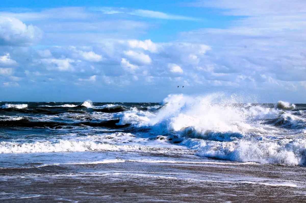
To the casual observer standing on a stretch of sun-drenched North Carolina beach or peering out across the mist-shrouded waters of the Great Lakes, the marine environment appears as an endless, ever-shifting expanse of nature. It is a place of recreation, commerce, and profound natural beauty. Yet, hidden beneath the surface and extending far beyond the horizon lies one of the most sophisticated, high-stakes technological networks ever devised by human engineering: the United States Integrated Ocean Observing System (IOOS).
Managed under the broader umbrella of the National Oceanic and Atmospheric Administration (NOAA), IOOS is the invisible backbone of American maritime safety, economic stability, and coastal resilience. While most citizens have never heard of IOOS, its impact is woven into the fabric of daily life. When a family checks local surf conditions before a weekend getaway, when emergency managers map the trajectory of an advancing hurricane, when commercial cargo ships safely thread the needle into major import hubs, or when Midwest manufacturers receive raw materials shipped via international trade routes, they are relying directly on the continuous stream of data harvested by this federal-academic partnership.
Comprising a decentralized network of autonomous underwater gliders, surface buoys, high-frequency coastal radar installations, and precision water-level monitoring stations, IOOS translates the complex physics of the marine environment into actionable, real-time intelligence. It bridges federal agencies, state governments, academic institutions, and 11 distinct regional associations.
However, this critical public infrastructure stands at a dangerous crossroads. Amid shifting federal budgets and competing legislative priorities, the funding streams that sustain IOOS and essential NOAA programs are facing severe threats. To dismantle or underfund this silent sentinel would not reduce the environmental hazards facing coastal and inland communities; rather, it would plunge mariners, forecasters, and civic leaders into a state of blind uncertainty. As the ocean absorbs the impacts of a rapidly changing global climate—evidenced by powerful, brewing climatic phenomena such as the 2026–2027 El Niño cycle—America can ill afford to turn a blind eye to the sea.
Detailed Chronology: The Evolution and Modern Integration of Marine Science
To understand the immense value of today’s ocean observing infrastructure, one must examine its historical trajectory—from isolated academic experiments to a unified national network.
The Fragmented Origins (Mid-to-Late 20th Century)
For decades, oceanographic data collection in the United States was largely siloed. Academic institutions maintained individual research buoys; the U.S. Navy tracked submarine environments for defense; the National Weather Service monitored major atmospheric systems; and local port authorities measured localized tides. While invaluable, these efforts suffered from a lack of standardization, real-time data sharing, and centralized synthesis. A researcher studying coastal upwelling off the Pacific Northwest had little immediate operational connection to a harbormaster managing container ships in the Port of Los Angeles.
The Legislative Turning Point (2000s–2009)
Recognizing that marine data was a matter of national security, economic vitality, and public safety, marine scientists and policymakers began advocating for a unified national system. This culminated in the Integrated Coastal and Ocean Observation System (ICOOS) Act of 2009. This legislation formally mandated the creation of a national network—IOOS—to integrate federal and non-federal ocean observations. It established the framework for regional associations, ensuring that localized coastal communities had direct access to high-resolution marine data tailored to their specific geographic and economic needs.
Expansion into the 2020s: The Era of Autonomous Technology
Over the past decade, IOOS has transformed through rapid technological innovation. Traditional, labor-intensive data collection methods have been supplemented—and in many cases superseded—by autonomous systems. Today, torpedo-shaped underwater gliders traverse entire ocean basins for months at a time, profiling the water column from surface to seafloor. High-frequency radar networks map surface currents in real time across hundreds of square miles of coastal waters, providing search-and-rescue teams with unprecedented mapping precision.
The 2026–2027 El Niño Benchmark
As the system enters the mid-2020s, it faces one of its most demanding stress tests to date. Meteorologists have identified a rapidly strengthening El Niño cycle in the tropical Pacific, with climatological models projecting a greater than 90% probability of a severe event through the fall and winter of 2026–2027. While NOAA’s global forecasting models track the broader atmospheric-oceanic teleconnections across the Pacific basin, IOOS regional observing networks along the U.S. West Coast provide the critical "last mile" of data. They measure how massive, basin-scale thermal anomalies translate into localized water temperatures, shifting sea levels, and altered currents in the California Current ecosystem. This integration of global macro-science with localized micro-observation represents the absolute pinnacle of modern environmental monitoring.
Supporting Context & Metrics: How Ocean Observations Drive the U.S. Economy and Save Lives
The value of America’s ocean observing system is best understood through tangible real-world metrics, spanning emergency response, supply chain logistics, and long-term climate adaptation.
Maritime Commerce and the Supply Chain
The United States is an import-export powerhouse, with more than 90% of all international trade moving by water. America’s deep-water ports handle trillions of dollars in cargo annually, connecting maritime transit directly to inland manufacturing hubs, agricultural markets, and retail centers.
- Precision Navigation: Massive container vessels, bulk carriers, and oil tankers operate under strict physical tolerances. A modern ultra-large container vessel requires precise under-keel clearance to navigate narrow shipping channels safely. IOOS water-level stations and current meters provide real-time updates that prevent grounding events, which can instantly paralyze a multi-billion-dollar supply chain.
- Commercial Fisheries: Commercial fishing fleets operating in the Pacific, Atlantic, Gulf of Mexico, and Great Lakes rely on water temperature profiles, current forecasts, and ecological data to target sustainable catches while avoiding hazardous sea states.
Search and Rescue Operations
When a recreational boater goes overboard, a small aircraft ditches, or a commercial vessel experiences a structural emergency at sea, every minute counts. Search-and-rescue (SAR) entities—primarily the U.S. Coast Guard—do not simply search blindly.
- Drift Modeling: By feeding real-time surface current, wind, and wave data from IOOS stations into advanced trajectory models, rescue coordinators can simulate where a person or vessel has drifted.
- Expanded Survival Windows: High-resolution regional current data dramatically shrinks the search radius. In emergency response operations, a smaller search box translates directly to faster rescue times and higher survival rates.
Public Health and Coastal Hazards
Our oceans and Great Lakes directly impact public health through extreme weather and biological phenomena.
- Harmful Algal Blooms (HABs): Toxic algae outbreaks, often exacerbated by nutrient runoff and warming waters, threaten multi-million-dollar shellfish industries, close recreational beaches, and produce neurotoxins dangerous to human health. IOOS observing nodes track physical ocean parameters that signal the onset of HABs, allowing health officials to issue timely advisories.
- Coastal Flooding and Storm Surge: As sea levels rise, routine high tides increasingly flood coastal infrastructure. During major storm events, real-time water-level data helps municipal managers deploy flood barriers, issue targeted evacuation orders, and coordinate post-storm recovery efforts.
Official Statements and Stakeholder Perspectives
The debate surrounding federal funding for NOAA and IOOS has mobilized conservation leaders, scientific institutions, and policy experts nationwide.
The Ocean Conservancy, a leading voice in marine advocacy, has spearheaded legislative campaigns emphasizing that ocean observation is not a discretionary luxury, but vital public infrastructure. In recent policy briefs, conservation advocates have drawn direct parallels between ocean monitoring systems and traditional civil engineering projects:
"Some infrastructure carries cars, electricity or drinking water. IOOS carries information, and that information helps people make decisions that can protect lives, livelihoods and communities. Walking away from that capacity would not make us safer or save us from the changes already underway. It would simply leave the people making important decisions with less information when they may need it most."
Scientific directors within the regional IOOS associations emphasize the irreplaceable nature of continuous, long-term datasets. Dr. Rachel Brittin, former NOAA deputy director of External Affairs and noted science communications expert, highlights the irreversible damage caused by observational data gaps:
"When long-running observations end, some of what disappears cannot simply be recovered by turning a sensor back on several years later. Continuous records allow scientists to distinguish short-term shifts from long-term changes and recognize trends that become visible only over decades. As ocean conditions change rapidly, gaps in those records leave gaps in our understanding."
From Capitol Hill to academic laboratories, the consensus among marine scientists is unequivocal: cutting federal investments in ocean observation yields an illusory fiscal savings while compounding societal and economic risk. The hazards—hurricanes, algal blooms, extreme tides, and shifting fish stocks—will persist regardless of whether society chooses to monitor them. The only variable is whether our nation remains vigilant or chooses to navigate the future blindfolded.
Future Outlook: The Imperative of Sustained Investment
As we look toward the remainder of the decade and beyond, the challenges facing America’s marine environments are intensifying. Climate change is accelerating thermal expansion, altering marine chemistry, and supercharging coastal storm systems. At the same time, the Blue Economy—encompassing offshore renewable energy development, aquaculture, advanced maritime logistics, and coastal tourism—is expanding at an unprecedented rate.
Meeting these dual challenges requires modernizing, rather than retrenching, America’s ocean observing capacity.
Priorities for the Next Decade:
- Technological Expansion: Expanding autonomous sensor coverage into underexplored areas of the Arctic, deep-water continental shelves, and the open Great Lakes.
- Data Integration: Enhancing artificial intelligence and machine learning protocols to synthesize vast data streams from satellites, buoys, and underwater gliders into predictive models with higher spatial and temporal resolution.
- Stable Appropriations: Securing bipartisan legislative support during the annual congressional appropriations process to ensure long-term fiscal stability for NOAA and its regional IOOS partners.
The ocean never stops changing. Day and night, winter and summer, currents shift, temperatures fluctuate, and weather systems brew off our coasts. America has spent decades building an extraordinary, world-class capacity to observe, understand, and adapt to these marine dynamics.
To safeguard our coastal communities, protect our maritime economy, and ensure the safety of those who work and play on the water, Congress must maintain strong federal investments in NOAA and America’s ocean observing system. We cannot afford to stop watching our ocean.
Take Action
You can help protect America’s marine observing infrastructure. Contact your elected officials today through the Ocean Conservancy Action Center to urge Congress to prioritize robust funding for NOAA and IOOS in the upcoming federal appropriations cycle. America’s coastal future depends on the vigilance we maintain today.